Difference between revisions of "Sambirano photos"
CampMaster (talk | contribs) |
CampMaster (talk | contribs) |
||
| Line 111: | Line 111: | ||
image:Sambirano 094.jpg|Old house near [[Isangambatonky]] in [[Sambirano]] | image:Sambirano 094.jpg|Old house near [[Isangambatonky]] in [[Sambirano]] | ||
image:Sambirano 095.jpg|[[Isangambatonky]] villagers, [[Sambirano]] | image:Sambirano 095.jpg|[[Isangambatonky]] villagers, [[Sambirano]] | ||
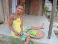
| − | + | image:Sambirano 096.jpg|[[Isangambatonky]] school boy, [[Sambirano]] | |
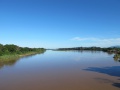
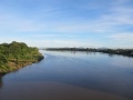
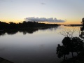
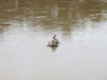
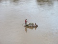
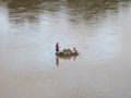
| + | image:Sambirano 097.jpg|[[Sambirano River]] | ||
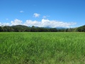
| + | image:Sambirano 098.jpg|[[Sambirano]] farm field | ||
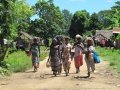
| + | image:Sambirano 099.jpg|Villagers near [[Isangambatonky]] in [[Sambirano]] | ||
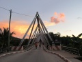
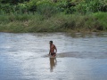
| + | image:Sambirano 100.jpg|Swimmer, [[Sambirano River]] | ||
</gallery> | </gallery> | ||
Revision as of 21:35, 25 September 2012
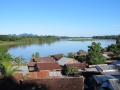
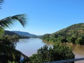
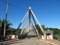
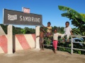
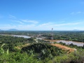
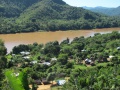
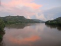
This is a collection of photos from the Sambirano region including the Sambirano River which runs from the Tsaratanana Massif into the Mozambique Channel on the northwest coast of Madagascar.
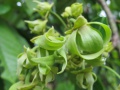
Sambirano Ylang-Ylang

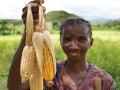
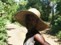
Isangambatonky market trader, Sambirano
Isangambatonky market trader, Sambirano
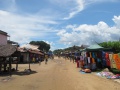
Isangambatonky market, Sambirano

Isangambatonky market trader, Sambirano
New Antanambao village beauties, Sambirano
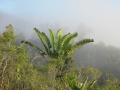
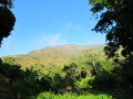
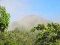
Misty morning on the Masomamangy mountain, Sambirano
New Antanambao village, Sambirano
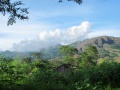
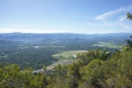
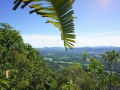
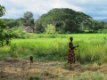
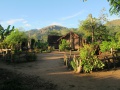
Sambirano landscape

Sambirano farmer
Sambirano farmer
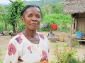
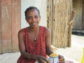
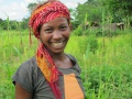
Sambirano villager
Sambirano villager
Sambirano villager
Picnic on the Masomamangy mountain, Sambirano
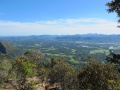
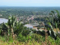
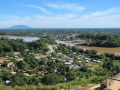
View from the Masomamangy mountain, Sambirano
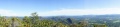
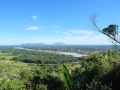
Panoramic view of Sambirano landscape at the Masomamangy mountain
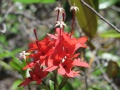
Flora on the Masomamangy mountain, Sambirano
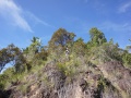
Masomamangy mountain. Sambirano
View of Sambirano from the Masomamangy mountain
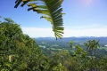
View of Sambirano from the Masomamangy mountain
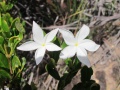
Sambirano flora

Sambirano villager

Sambirano flora

Sambirano flora
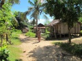
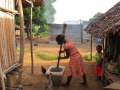
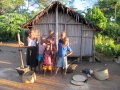
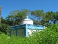
Sambirano village

Sambirano villagers
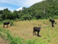
Sambirano cattle
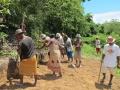
Communal road building, Sambirano
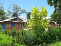
Sambirano village
Sambirano village
Sambirano villagers
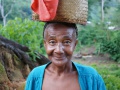
Sambirano farmer
Sambirano villager

Sambirano villager
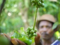
Sambirano coffee plant
Sambirano village

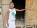
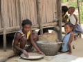
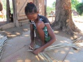
Sambirano village child
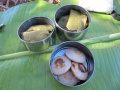
Farming in Sambirano
Sambirano maize farmer
Sambirano farm
Sambirano farmer

Sambirano farmer

Sambirano farmer
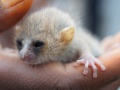
Sambirano lemur

Sambirano villager
Sambirano villager
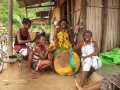
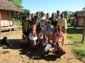
Sambirano family
Sambirano village
Sambirano landscape
Sambirano villager
Sambirano landscape
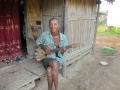
Issouf and family, Sambirano
Sambirano villager
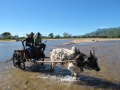
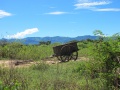
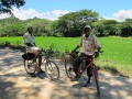
Sambirano zebu cart
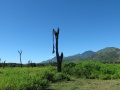
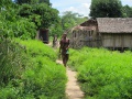
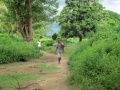
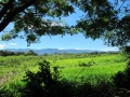
Sambirano landscape
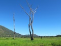
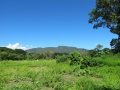
Sambirano landscape
Sambirano landscape
Sambirano landscape

Sambirano landscape
Sambirano landscape
Sambirano landscape
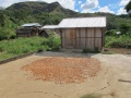
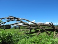
Sambirano soil
Sambirano cacao farmer

Sambirano child
Arabic grave, Sambirano
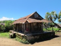
Old house near Isangambatonky in Sambirano
Isangambatonky villagers, Sambirano

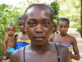
Isangambatonky school boy, Sambirano
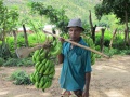
Sambirano farm field
Villagers near Isangambatonky in Sambirano
Swimmer, Sambirano River


