Difference between revisions of "Ivato Airport Viewpoint"
From MadaCamp
CampMaster (talk | contribs) |
CampMaster (talk | contribs) m (Text replacement - "<googlemap version="0.9" (.*)>" to "<googlemap version="0.9" $1 style="width:100%;max-width:600px;">") |
||
| Line 24: | Line 24: | ||
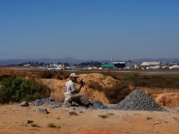
Due to the elevated area in front of this side of the runway planes only land at [[Ivato International Airport]] from this direction. All planes take off towards the other end of the runway. The area is dotted with various small mines where workers are manually crushing rocks into gravel. | Due to the elevated area in front of this side of the runway planes only land at [[Ivato International Airport]] from this direction. All planes take off towards the other end of the runway. The area is dotted with various small mines where workers are manually crushing rocks into gravel. | ||
| − | <googlemap version="0.9" lat="-18.792842" lon="47.462762" zoom="16" controls="large"> | + | <googlemap version="0.9" lat="-18.792842" lon="47.462762" zoom="16" controls="large" style="width:100%;max-width:600px;"> |
-18.792157, 47.461485 | -18.792157, 47.461485 | ||
Ivato Airport viewpoint | Ivato Airport viewpoint | ||
Revision as of 22:53, 5 September 2016
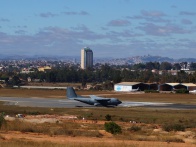
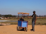
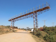
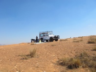
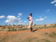
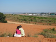
A 15-minute drive along a bumpy road around half the runway in the direction Croc Farm there is a viewpoint on top of a small hill where locals often picnic and sometimes entire school classes gather to watch the planes fly by.

| ||

|
|

|
|
|
|
|
|

|
|
|

|
Due to the elevated area in front of this side of the runway planes only land at Ivato International Airport from this direction. All planes take off towards the other end of the runway. The area is dotted with various small mines where workers are manually crushing rocks into gravel.