Difference between revisions of "Ankovana"
From MadaCamp
| (8 intermediate revisions by 2 users not shown) | |||
| Line 14: | Line 14: | ||
|} | |} | ||
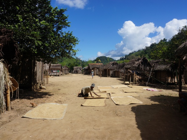
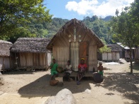
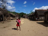
| − | Ankovana is a typical Betsimisaraka village with simple huts. Most of the villagers live from farming, mainly cultivating rice. There is no electricity or running water in the village, but a nearby river is used for bathing and washing. | + | Ankovana is a typical [[Betsimisaraka]] village with simple huts. Most of the villagers live from farming, mainly cultivating rice. There is no electricity or running water in the village, but a nearby river is used for bathing and washing. |
{| class="imageTable" | {| class="imageTable" | ||
| Line 28: | Line 28: | ||
{| class="imageTable" | {| class="imageTable" | ||
| − | |||
| − | |||
|- | |- | ||
|[[File:Ankovana_036.jpg|196px]] | |[[File:Ankovana_036.jpg|196px]] | ||
| Line 40: | Line 38: | ||
|} | |} | ||
| − | < | + | <div style="max-width:600px;"> |
| − | + | {{#display_map: | |
| − | + | -15.307317, 49.986597~'''Ankovana'''~~; | |
| − | </ | + | |type=satellite |
| + | |service=google | ||
| + | |width=auto | ||
| + | |height=400 | ||
| + | |zoom=16 | ||
| + | |controls=pan, zoom, type, scale | ||
| + | |copycoords=yes | ||
| + | |icon=https://www.madacamp.com/images/madagascar/Green_marker.png | ||
| + | }} | ||
| + | </div> | ||
'''GPS Coordinates'''<br> | '''GPS Coordinates'''<br> | ||
| Line 49: | Line 56: | ||
E049°59.219'<br> | E049°59.219'<br> | ||
231m elevation | 231m elevation | ||
| + | |||
| + | == Photos == | ||
View all [[Ankovana photos]] | View all [[Ankovana photos]] | ||
| + | |||
| + | == Additional information == | ||
| + | |||
| + | * 5 days trek from [[Maroantsetra Antalaha trek|Maroantsetra to Antalaha]] | ||
Latest revision as of 06:52, 31 December 2020
Ankovana is located along the old "smuggler's path", connecting Maroantsetra with Antalaha across the Masoala Peninsula.
| ||
|
|
|
|
|
|
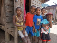
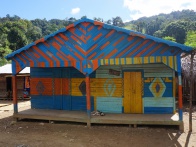
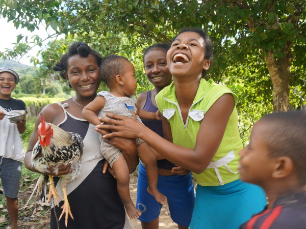
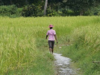
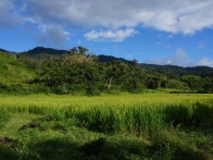
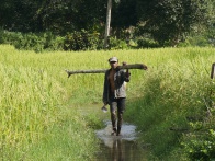
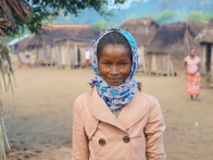
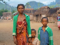
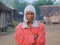
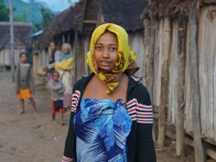
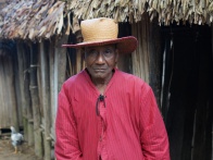
Ankovana is a typical Betsimisaraka village with simple huts. Most of the villagers live from farming, mainly cultivating rice. There is no electricity or running water in the village, but a nearby river is used for bathing and washing.
| ||
|
|
|
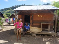
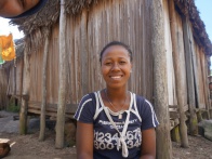
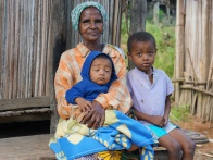
Travelers can find basic rooms (5,000 Ariary, 2014) for an overnight stay in Ankovana. The landlady of Hotel Centrale Ankovana at the entrance of the village when coming from Fizono prepares delicious Malagasy meals!
|
|
|
|
|
|
Loading map...
GPS Coordinates
S 15°18.521'
E049°59.219'
231m elevation
Photos
View all Ankovana photos
Additional information
- 5 days trek from Maroantsetra to Antalaha