Difference between revisions of "Fampotabe"
CampMaster (talk | contribs) |
|||
| (10 intermediate revisions by 2 users not shown) | |||
| Line 1: | Line 1: | ||
| − | '''The village of Fampotabe is located along a bay on the western side of the Masoala Peninsula. The village | + | '''The village of Fampotabe is located along a bay on the western side of the Masoala Peninsula. The village is not directly on the coastline but a several kilometres long and beautiful beach is within close walking distance. Fampotabe is named after the Fampotabe river, which flows into the ocean on the east side of the village.''' |
{| class="imageTable" | {| class="imageTable" | ||
|- | |- | ||
| − | |colspan="3" | [[File:Fampotabe | + | |colspan="3" | [[File:Fampotabe 053.jpg|600px]] |
|- | |- | ||
|[[File:Fampotabe 009.jpg|196px]] | |[[File:Fampotabe 009.jpg|196px]] | ||
| Line 22: | Line 22: | ||
{| class="imageTable" | {| class="imageTable" | ||
|- | |- | ||
| − | |colspan="3" | [[File:Fampotabe | + | |colspan="3" | [[File:Fampotabe 042.jpg|600px]] |
|- | |- | ||
|[[File:Fampotabe 001.jpg|196px]] | |[[File:Fampotabe 001.jpg|196px]] | ||
| − | |align="center"|[[File:Fampotabe | + | |align="center"|[[File:Fampotabe 057.jpg|196px]] |
|align="right"|[[File:Fampotabe 020.jpg|196px]] | |align="right"|[[File:Fampotabe 020.jpg|196px]] | ||
|- | |- | ||
| Line 32: | Line 32: | ||
The nearby village of [[Namantoana]] can be reached within an hour by foot. | The nearby village of [[Namantoana]] can be reached within an hour by foot. | ||
| − | < | + | <div style="max-width:600px;"> |
| − | -15.937173, 50.139197 | + | {{#display_map: |
| − | + | -15.937173, 50.139197~'''Fampotabe'''~~; | |
| − | </ | + | |type=satellite |
| + | |service=google | ||
| + | |width=auto | ||
| + | |height=400 | ||
| + | |zoom=15 | ||
| + | |controls=pan, zoom, type, scale | ||
| + | |copycoords=yes | ||
| + | |icon=https://www.madacamp.com/images/madagascar/Green_marker.png | ||
| + | }} | ||
| + | </div> | ||
| + | |||
| + | [[File:Fampotabe 077.jpg|600px]] | ||
| + | |||
| + | The next village direction south is [[Antezampafana]]. The next village direction north is [[Namantoana]]. | ||
'''GPS coordinates'''<br> | '''GPS coordinates'''<br> | ||
| Line 42: | Line 55: | ||
8m elevation | 8m elevation | ||
| + | == Photos == | ||
| − | + | View all [[Fampotabe photos]] | |
| − | |||
| − | |||
| − | |||
| + | == Additional information == | ||
| − | [[ | + | * 7 days trek from [[Maroantsetra Antalaha trek around the Masoala peninsula|Maroantsetra to Antalaha around the Masoala peninsula]] - The village of Fampotabe lies on the path sneaking around the Masoala Peninsula. |
| − | |||
| − | |||
| − | |||
| − | |||
| − | |||
| − | |||
| − | |||
| − | |||
| − | |||
| − | |||
| − | |||
| − | |||
| − | |||
| − | |||
| − | |||
| − | |||
| − | |||
| − | |||
| − | |||
| − | |||
| − | |||
| − | |||
| − | |||
| − | |||
| − | |||
| − | |||
| − | |||
| − | |||
| − | |||
| − | |||
| − | |||
| − | |||
| − | |||
| − | |||
| − | |||
| − | |||
| − | |||
| − | |||
| − | |||
| − | |||
| − | |||
| − | |||
| − | |||
| − | |||
| − | |||
| − | |||
| − | |||
| − | |||
| − | |||
| − | |||
| − | |||
| − | |||
| − | |||
| − | |||
| − | |||
| − | |||
| − | |||
| − | |||
| − | |||
| − | |||
| − | |||
| − | |||
| − | |||
| − | |||
| − | |||
| − | |||
| − | |||
| − | |||
| − | |||
| − | |||
| − | |||
| − | |||
| − | |||
| − | |||
| − | |||
Latest revision as of 14:56, 31 December 2020
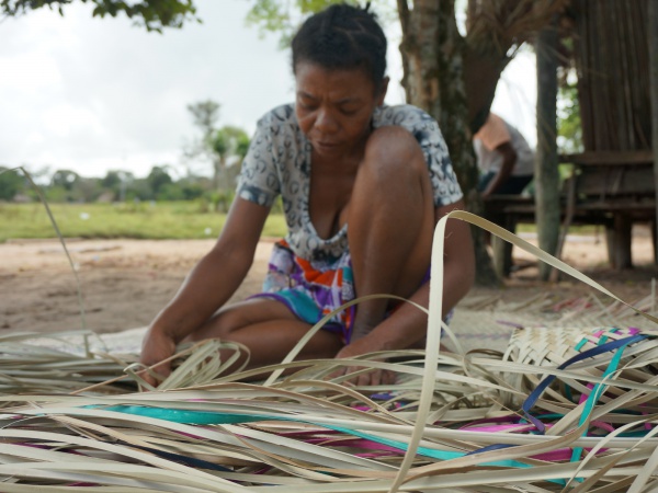
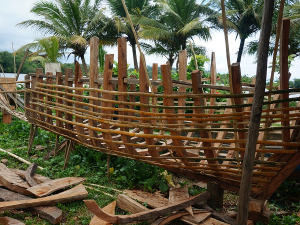
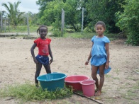
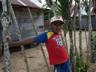
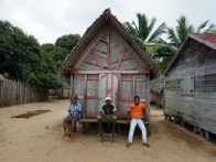
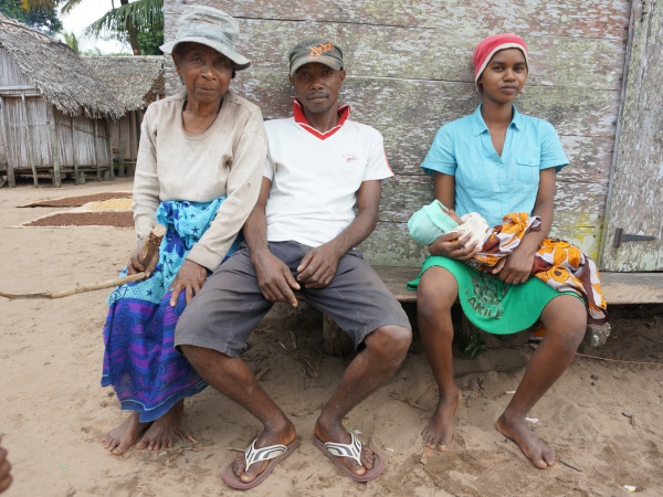
The village of Fampotabe is located along a bay on the western side of the Masoala Peninsula. The village is not directly on the coastline but a several kilometres long and beautiful beach is within close walking distance. Fampotabe is named after the Fampotabe river, which flows into the ocean on the east side of the village.
| ||
|
|
|
|
|

|
Fampotabe has a Public Primary School. The encouraging slogan of the school is "À coeur vaillnt rien d'impossible" - "With a valiant heart nothing is impossible".
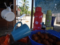
There are various well stocked shops and small hôtely' (restaurant) along the sandy main road. The villagers live from fishing and farming, especially cloves. Throughout the months of October and November the cloves are picked and thereafter prepared for drying in the sun. In those months there will be an intense scent of cloves in the entire village.
| ||

|
|

|
The nearby village of Namantoana can be reached within an hour by foot.
The next village direction south is Antezampafana. The next village direction north is Namantoana.
GPS coordinates
S 15°56.205
E050°08.328
8m elevation
Photos
View all Fampotabe photos
Additional information
- 7 days trek from Maroantsetra to Antalaha around the Masoala peninsula - The village of Fampotabe lies on the path sneaking around the Masoala Peninsula.
