Difference between revisions of "Anamakia"
From MadaCamp
CampMaster (talk | contribs) |
|||
| (6 intermediate revisions by 2 users not shown) | |||
| Line 14: | Line 14: | ||
[[File:Anamakia_019.jpg|600px]] | [[File:Anamakia_019.jpg|600px]] | ||
| − | < | + | <div style="max-width:600px;"> |
| − | -12.326214, 49.246354 | + | {{#display_map: |
| − | Anamakia mango market | + | -12.326214, 49.246354~'''Anamakia mango market'''~~; |
| − | -12.325257, 49.251451 | + | |
| − | Anamakia village | + | -12.325257, 49.251451~'''Anamakia village'''~~; |
| − | </ | + | |type=satellite |
| + | |service=google | ||
| + | |width=auto | ||
| + | |height=400 | ||
| + | |zoom=15 | ||
| + | |controls=pan, zoom, type, scale | ||
| + | |copycoords=yes | ||
| + | }} | ||
| + | </div> | ||
'''Geographic coordinates'''<br> | '''Geographic coordinates'''<br> | ||
12.326198S 49.246456E | 12.326198S 49.246456E | ||
| + | |||
| + | == Photos == | ||
View all [[Anamakia photos]] | View all [[Anamakia photos]] | ||
| + | |||
| + | == Additional information == | ||
| + | |||
| + | [[Diego Suarez to Cap Diego by bike|Bike ride Diego Suarez to Cap Diego]] - 46.22 km | ||
Latest revision as of 08:15, 12 December 2020
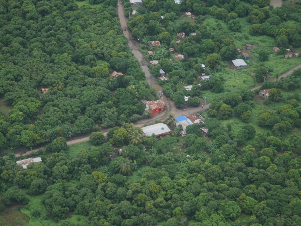
Anamakia is a small village about eight kilometres west of Diego Suarez in the north of Madagascar. The village lies in the middle of the large Plaine d'Anamakia, which is used as grazing land for hundrets of zebus.
| ||
|
|
|
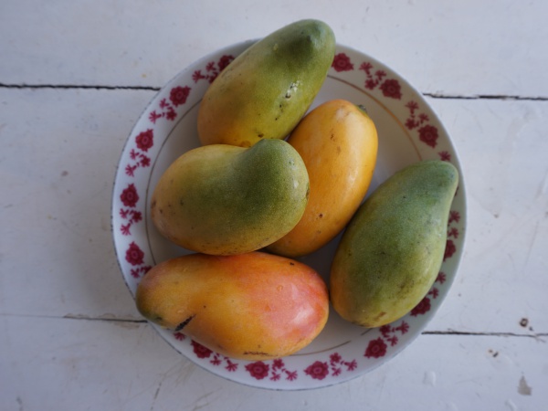
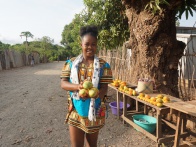
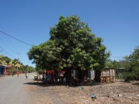
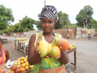
At the western end of the village there is a bar offering drinks and snacks. Just across the road from that bar are giant mango trees under which women sell the most delicious mangoes (usually in October, November).
Loading map...
Geographic coordinates
12.326198S 49.246456E
Photos
View all Anamakia photos
Additional information
Bike ride Diego Suarez to Cap Diego - 46.22 km
