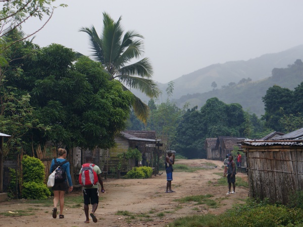
Antsambalahy
Revision as of 19:20, 1 May 2025 by CampMaster (talk | contribs) (Text replacement - "service=google" to "service=leaflet")
Revision as of 19:20, 1 May 2025 by CampMaster (talk | contribs) (Text replacement - "service=google" to "service=leaflet")
The village of Antsambalahy is located next to a river along the old "smuggler's path", connecting Maroantsetra with Antalaha across the Masoala Peninsula in the north east of Madagascar.

| ||

|

|

|
Loading map...
GPS Coordinates
S 15°06.738'
E050°05.997'
68m elevation
Photos
View all Antsambalahy photos
Additional information
- 5 days trek from Maroantsetra to Antalaha