Difference between revisions of "Analampotsy"
From MadaCamp
| Line 1: | Line 1: | ||
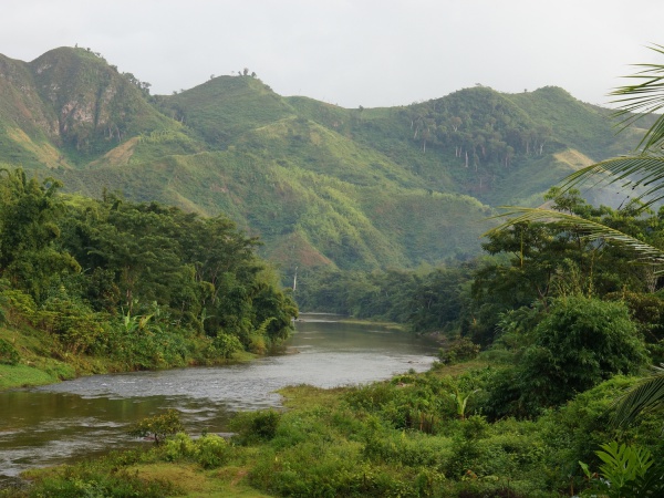
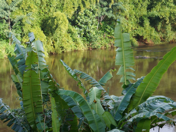
'''Analampotsy is one of the many small villages one passes when trekking from [[Maroantsetra]] to [[Antalaha]]. The village is located next to a river, just 3 hours by foot from [[Marofinaritra]] where the road to Antalaha starts from.''' | '''Analampotsy is one of the many small villages one passes when trekking from [[Maroantsetra]] to [[Antalaha]]. The village is located next to a river, just 3 hours by foot from [[Marofinaritra]] where the road to Antalaha starts from.''' | ||
| + | |||
| + | {| class="imageTable" | ||
| + | |- | ||
| + | |colspan="3" | [[File:Analampotsy_001.jpg|600px]] | ||
| + | |- | ||
| + | |[[File:Analampotsy_012.jpg|196px]] | ||
| + | |align="center"|[[File:Analampotsy_008.jpg|196px]] | ||
| + | |align="right"|[[File:Analampotsy_007.jpg|196px]] | ||
| + | |- | ||
| + | |colspan="3" | [[File:Analampotsy_013.jpg|600px]] | ||
| + | |} | ||
<googlemap version="0.9" lat="-15.09943" lon="50.104212" zoom="16" controls="large"> | <googlemap version="0.9" lat="-15.09943" lon="50.104212" zoom="16" controls="large"> | ||
Revision as of 14:21, 1 March 2015
Analampotsy is one of the many small villages one passes when trekking from Maroantsetra to Antalaha. The village is located next to a river, just 3 hours by foot from Marofinaritra where the road to Antalaha starts from.

| ||

|

|

|

| ||
GPS Coordinates
S 15°06.019'
E050°06.196'
109m elevation
View all Analampotsy photos