Difference between revisions of "Antongompahitra"
From MadaCamp
CampMaster (talk | contribs) |
|||
| Line 3: | Line 3: | ||
[[File:Antongompahitra_001.jpg|600px]] | [[File:Antongompahitra_001.jpg|600px]] | ||
| − | <googlemap version="0.9" lat="-14.168400" lon="50.121183" controls="large" zoom="12" style="width:100%;max-width:600px;"> | + | <div style="max-width:600px;"> |
| + | {{#display_map: | ||
| + | -14.168400, 50.121183~'''Antongompahitra'''~~; | ||
| + | |type=satellite | ||
| + | |service=google | ||
| + | |width=auto | ||
| + | |height=400 | ||
| + | |zoom=12 | ||
| + | |enablefullscreen=yes | ||
| + | |controls=pan, zoom, type, scale | ||
| + | |searchmarkers=all | ||
| + | |resizable=yes | ||
| + | |copycoords=yes | ||
| + | }} | ||
| + | </div> | ||
| + | <!--<googlemap version="0.9" lat="-14.168400" lon="50.121183" controls="large" zoom="12" style="width:100%;max-width:600px;"> | ||
-14.168400, 50.121183 | -14.168400, 50.121183 | ||
Antongompahitra | Antongompahitra | ||
| − | </googlemap> | + | </googlemap>--> |
| + | |||
| + | View all [[Antongompahitra photos]] | ||
Revision as of 08:46, 26 November 2020
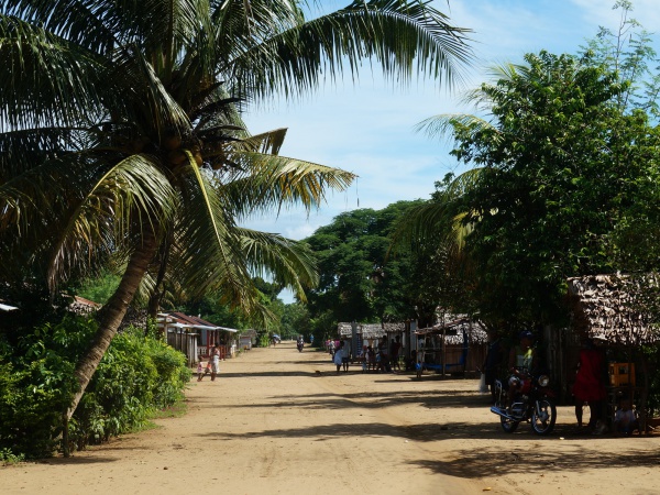
Antongompahitra is a village between Sambava and Bemanevika in the northeast of Madagascar.
Loading map...
View all Antongompahitra photos
