Difference between revisions of "Marofototra"
From MadaCamp
| Line 1: | Line 1: | ||
'''The village of Marofototra is located on the [[Masoala|Masoala Peninsula]] directly at the [[Antongil Bay]] in the northeast of Madagascar. The name Marofototra means ''many stumps'' in Malagasy.''' | '''The village of Marofototra is located on the [[Masoala|Masoala Peninsula]] directly at the [[Antongil Bay]] in the northeast of Madagascar. The name Marofototra means ''many stumps'' in Malagasy.''' | ||
| + | |||
| + | {| class="imageTable" | ||
| + | |- | ||
| + | |colspan="3" | [[File:Marofototra_012.jpg|600px]] | ||
| + | |- | ||
| + | |[[File:Marofototra_023.jpg|196px]] | ||
| + | |align="center"|[[File:Marofototra_024.jpg|196px]] | ||
| + | |align="right"|[[File:Marofototra_003.jpg|196px]] | ||
| + | |} | ||
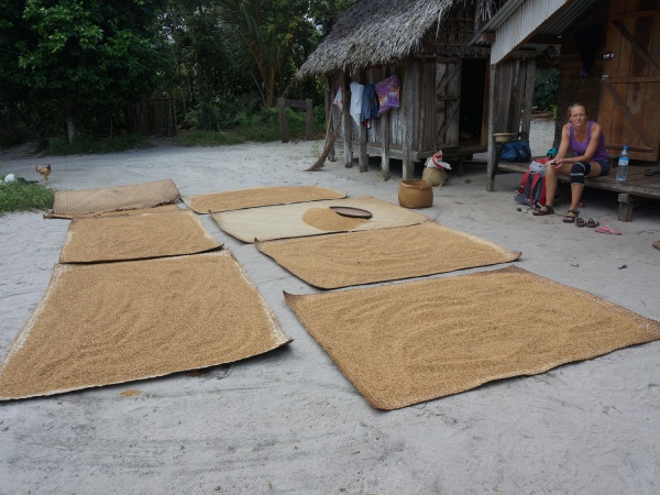
About 400 people live in Marofototra, most of its inhabitants are fishermen and live stock as well as rice farmers. The village has a school, small medical centre and about three shops. | About 400 people live in Marofototra, most of its inhabitants are fishermen and live stock as well as rice farmers. The village has a school, small medical centre and about three shops. | ||
| + | |||
| + | {| class="imageTable" | ||
| + | |- | ||
| + | |colspan="3" | [[File:Marofototra_001.jpg|600px]] | ||
| + | |- | ||
| + | |[[File:Marofototra_017.jpg|196px]] | ||
| + | |align="center"|[[File:Marofototra_013.jpg|196px]] | ||
| + | |align="right"|[[File:Marofototra_019.jpg|196px]] | ||
| + | |} | ||
| + | |||
| + | From [[Tampolo]] it takes about 2 hours by foot to reach Marofototra on a small trail, passing countless beautiful beaches. | ||
<googlemap version="0.9" lat="-15.765203" lon="49.996076" zoom="15" controls="large"> | <googlemap version="0.9" lat="-15.765203" lon="49.996076" zoom="15" controls="large"> | ||
-15.76538, 49.996102 | -15.76538, 49.996102 | ||
</googlemap> | </googlemap> | ||
| − | |||
| − | |||
'''GPS Coordinates'''<br> | '''GPS Coordinates'''<br> | ||
Revision as of 05:58, 25 November 2015
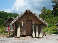
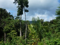
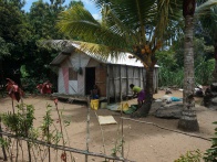
The village of Marofototra is located on the Masoala Peninsula directly at the Antongil Bay in the northeast of Madagascar. The name Marofototra means many stumps in Malagasy.
| ||
|
|
|
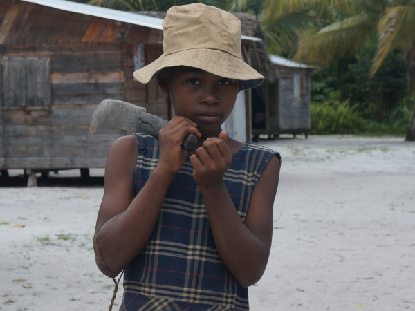
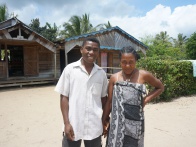
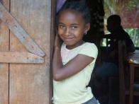
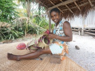
About 400 people live in Marofototra, most of its inhabitants are fishermen and live stock as well as rice farmers. The village has a school, small medical centre and about three shops.
| ||
|
|
|
From Tampolo it takes about 2 hours by foot to reach Marofototra on a small trail, passing countless beautiful beaches.
GPS Coordinates
S 15°45.920'
E049°59.779'
View more Marofototra photos
