Difference between revisions of "Antezampafana"
From MadaCamp
CampMaster (talk | contribs) m (Text replacement - "<googlemap version="0.9" (.*)>" to "<googlemap version="0.9" $1 style="width:100%;max-width:600px;">") |
CampMaster (talk | contribs) |
||
| Line 1: | Line 1: | ||
| + | {| class="imageTable" | ||
| + | |- | ||
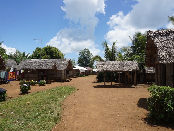
| + | |colspan="3" | [[File:Antezampafana 001.jpg|600px]] | ||
| + | |- | ||
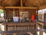
| + | |[[File:Antezampafana 002.jpg|196px]] | ||
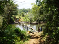
| + | |align="center"|[[File:Antezampafana 003.jpg|196px]] | ||
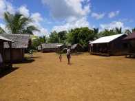
| + | |align="right"|[[File:Antezampafana 004.jpg|196px]] | ||
| + | |- | ||
| + | |[[File:Antezampafana 015.jpg|196px]] | ||
| + | |align="center"|[[File:Antezampafana 006.jpg|196px]] | ||
| + | |align="right"|[[File:Antezampafana 007.jpg|196px]] | ||
| + | |} | ||
| + | |||
<googlemap version="0.9" lat="-15.946309" lon="50.152304" zoom="17" controls="large" style="width:100%;max-width:600px;"> | <googlemap version="0.9" lat="-15.946309" lon="50.152304" zoom="17" controls="large" style="width:100%;max-width:600px;"> | ||
-15.94614, 50.152121 | -15.94614, 50.152121 | ||
Revision as of 22:11, 11 January 2017

| ||

|

|

|

|

|

|
GPS coordinates
S 15°56.757
E050°09.125'
15m elevation
Additional information
- View all Antezampafana photos
- Maroantsetra Antalaha trek around the Masoala peninsula - The village of Antezampafana lies on the path sneaking around the Masoala Peninsula.
