Difference between revisions of "Anjanazana"
From MadaCamp
CampMaster (talk | contribs) |
CampMaster (talk | contribs) |
||
| Line 24: | Line 24: | ||
</googlemap> | </googlemap> | ||
| − | The next village south of [[Anjanazana]] is [[ | + | The next village south of [[Anjanazana]] is [[Faleovan]] and the next village direction north is [[Ambodipont]]. |
'''GPS coordinates'''<br> | '''GPS coordinates'''<br> | ||
Revision as of 09:01, 24 February 2017
Anjanazana is a common name for villages in Madagascar, especially on the east coast. The Anjanazana desribed on this page is located inland on the southeastern part of the Masoala Peninsula.

| ||

|

|

|

|

|

|

| ||
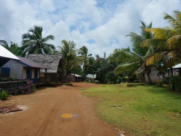
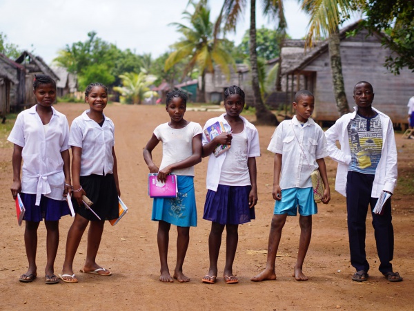
Anjanazana stretches along a wide sandy road lined with well-built houses, various shops and small food stalls. The village has a primary public school, established 23rd October 1970, and a college of general education. Nearby there is also a hospital (Hopitaly Ambodisatrana).
The next village south of Anjanazana is Faleovan and the next village direction north is Ambodipont.
GPS coordinates
S 15°45.481'
E050°18.220'
17m elevation
Additional information
- View all Anjanazana photos
- Maroantsetra Antalaha trek around the Masoala peninsula - The village of Anjanazana lies on the path sneaking around the Masoala Peninsula.
