Difference between revisions of "Antanamandririna"
From MadaCamp
| Line 10: | Line 10: | ||
|- | |- | ||
|} | |} | ||
| + | |||
| + | There is a Community School ''(École Communau Taire)'' in the village. | ||
<googlemap version="0.9" lat="-13.803803" lon="48.486735" type="satellite" zoom="16" controls="large" style="width:100%;max-width:600px;"> | <googlemap version="0.9" lat="-13.803803" lon="48.486735" type="satellite" zoom="16" controls="large" style="width:100%;max-width:600px;"> | ||
Revision as of 05:38, 28 July 2017
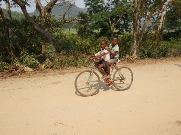
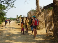
The village of Antanamandririna is located near the Sambirano River in the northwest of Madagascar.

| ||

|

|

|
There is a Community School (École Communau Taire) in the village.
GPS coordinates
Google: 13°48'07.7"S 48°29'11.6"E
Garmin: -13.802136, 48.486542
Additional information