Difference between revisions of "Military airfield Andrakaka"
From MadaCamp
| Line 1: | Line 1: | ||
| + | '''The military airfield Andrakaka is located <!--on the Andrakaka Peninsula-->near [[Cap Diego]] in the Diego Suarez Bay in the north of Madagascar. The airport has one runway, but is no longer operational.''' | ||
| + | [[File:Diego_Suarez_to_Cap_Diego_by_bike_060.jpg|600px]] | ||
| − | + | [[File:Diego_Suarez_to_Cap_Diego_by_bike_061.jpg|600px]] | |
| − | |||
| − | |||
| + | [[File:Diego_Suarez_to_Cap_Diego_by_bike_062.jpg|600px]] | ||
| + | <googlemap version="0.9" lat="-12.264182" lon="49.247139" zoom="13" controls="large" style="width:100%;max-width:600px;"> | ||
| + | -12.251274, 49.247887 | ||
| + | </googlemap> | ||
Revision as of 06:19, 29 December 2017
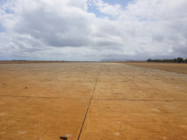
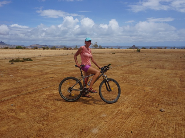
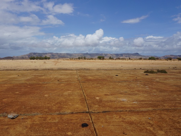
The military airfield Andrakaka is located near Cap Diego in the Diego Suarez Bay in the north of Madagascar. The airport has one runway, but is no longer operational.
GPS coordinates
Google: 12°14'57.9"S 49°14'42.2"E
Garmin: -12.249429, 49.245055
Additional information
- View all Military airfield Andrakaka photos
- www.fortifications-de-diego-suarez.info/andrakaka - Cap Diego: l'aéroport d'Andrakaka (French)


