Difference between revisions of "Faleovan"
From MadaCamp
CampMaster (talk | contribs) |
CampMaster (talk | contribs) |
||
| Line 14: | Line 14: | ||
|- | |- | ||
|} | |} | ||
| + | |||
| + | <HTML5video type="youtube" width="600" height="338">jT8z6iWZpHY</HTML5video> | ||
<googlemap version="0.9" lat="-15.800367" lon="50.287562" zoom="16" controls="large" style="width:100%;max-width:600px;"> | <googlemap version="0.9" lat="-15.800367" lon="50.287562" zoom="16" controls="large" style="width:100%;max-width:600px;"> | ||
Revision as of 21:45, 16 March 2018
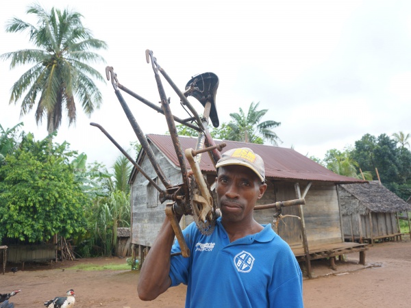
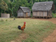
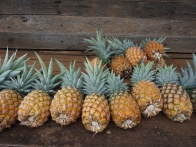
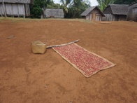
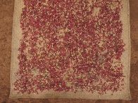
Faleovan, also known as Faleovan-Tena, is a small village located on the southeastern part of the Masoala Peninsula. Acriculture include farming cloves and pinapples. A few kilometres north of the village there is a protected forest area and the Ifaho Marine Reserve.
| ||
|
|
|
|

|
|
The next village south of Faleovan is Anovandrano and the next village north is Anjanazana.
GPS coordinates
S 15°48.065'
E050°17.142'
21m elevation
Additional information
- View all Faleovan photos
- Maroantsetra Antalaha trek around the Masoala peninsula - The village of Faleovan lies on the path sneaking around the Masoala Peninsula.