Difference between revisions of "Mahalevona"
From MadaCamp
CampMaster (talk | contribs) |
CampMaster (talk | contribs) |
||
| Line 23: | Line 23: | ||
|align="center"|[[File:Mahalevona_011.jpg|196px]] | |align="center"|[[File:Mahalevona_011.jpg|196px]] | ||
|align="right"|[[File:Mahalevona_009.jpg|196px]] | |align="right"|[[File:Mahalevona_009.jpg|196px]] | ||
| + | |- | ||
| + | |[[File:Mahalevona_123.jpg|196px]] | ||
| + | |align="center"|[[File:Mahalevona_101.jpg|196px]] | ||
| + | |align="right"|[[File:Mahalevona_119.jpg|196px]] | ||
|} | |} | ||
Revision as of 21:32, 12 April 2018
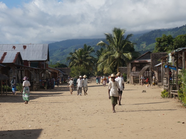
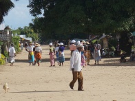
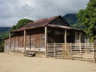
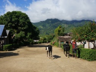
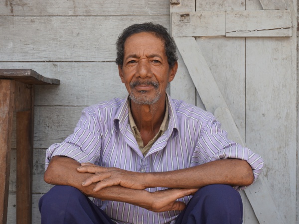
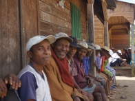
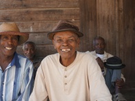
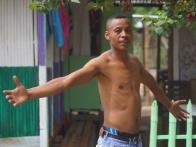
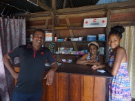
Mahalevona is a long-stretched village, located along a river on the Masoala Peninsula. The village has several shops, schools and hotel accommodation.
| ||
|
|
|

|
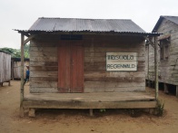
|
|
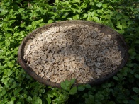
There is no electricity or running water in the village. However, it is only a short walk to the river which provides crystal clear water for bathing and swimming. Throughout the day, most of the villagers work on the rice fields surrounding the village.
| ||
|
|
|

|
|
|
Accommodation
Hotel Malala
7 bungalows and restaurant
5.000 Ariary per bungalow (price 2014)
GPS Coordinates
S 15°24'834'
E049°54'918'
34m elevation
View all Mahalevona photos
