Difference between revisions of "Black Lemur Camp Viewpoint Circuit"
From MadaCamp
CampMaster (talk | contribs) |
CampMaster (talk | contribs) |
||
| Line 2: | Line 2: | ||
[[File:Black_Lemur_Camp_Viewpoint_Circuit_001.jpg|600px]] | [[File:Black_Lemur_Camp_Viewpoint_Circuit_001.jpg|600px]] | ||
| − | |||
| − | |||
<HTML5video type="youtube">gAHden06MQU</HTML5video> | <HTML5video type="youtube">gAHden06MQU</HTML5video> | ||
| Line 381: | Line 379: | ||
</googlemap> | </googlemap> | ||
| + | |||
| + | [[File:Black_Lemur_Camp_Viewpoint_Circuit_002.jpg|600px]] | ||
== Tour data == | == Tour data == | ||
Revision as of 03:15, 23 September 2019
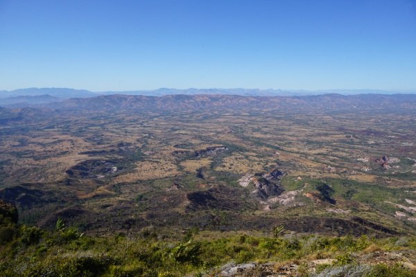
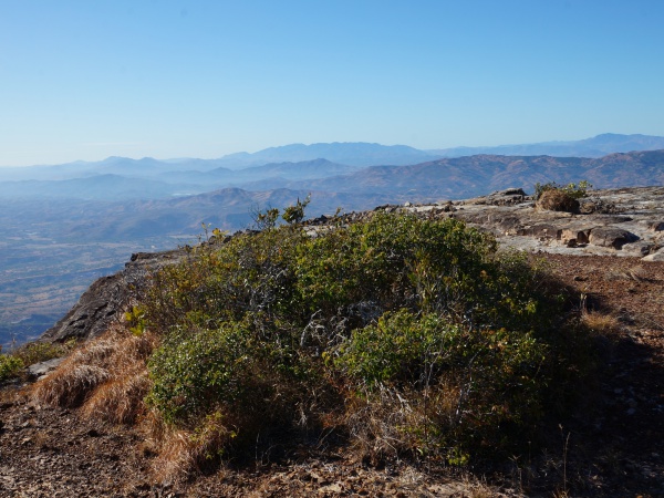
The Black Lemur Camp Viewpoint Circuit is an approximately 4-hour trekking route that starts at Black Lemur Camp and through the forested habitat of the endangered Perrier's sifaka lemur and further onto a 624m peak with stunning views of the SAVA region towards the south and the Diana region towards the north.
Tour data
Date: 20th September 2019
Distance: 6.92 kilometres
Duration: 4 hours, 19 minutes
Average speed: 1.61 km/h
Minimum elevation: 316.08 metres
Maximum elevation: 624.53 metres
Total climb: 324.00 metres
Total descent: 308.46 metres
Go to Black Lemur Camp

