Difference between revisions of "Black Lemur Camp Viewpoint Circuit"
CampMaster (talk | contribs) |
CampMaster (talk | contribs) |
||
| Line 33: | Line 33: | ||
|- | |- | ||
|colspan="3" | [[File:Black_Lemur_Camp_Viewpoint_Circuit_041.jpg|600px]] | |colspan="3" | [[File:Black_Lemur_Camp_Viewpoint_Circuit_041.jpg|600px]] | ||
| − | |||
| − | |||
| − | |||
| − | |||
|- | |- | ||
|[[File:Black_Lemur_Camp_Viewpoint_Circuit_042.jpg|196px]] | |[[File:Black_Lemur_Camp_Viewpoint_Circuit_042.jpg|196px]] | ||
Revision as of 13:31, 24 September 2019
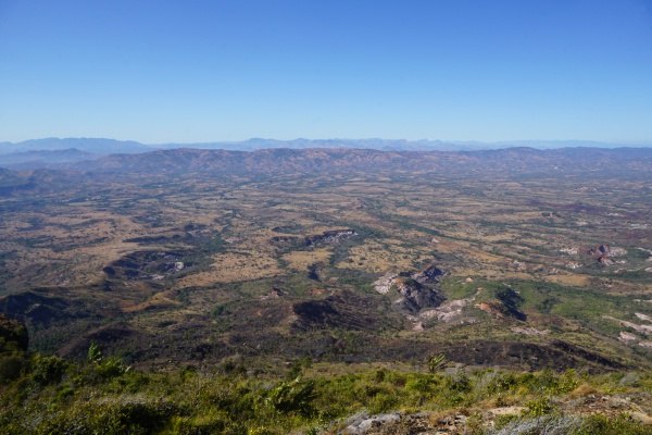
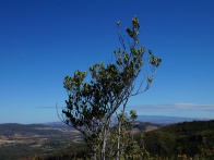
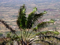
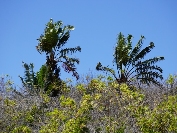
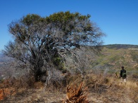
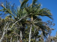
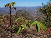
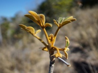
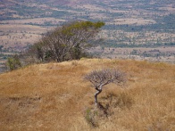
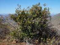
The Black Lemur Camp Viewpoint Circuit is an approximately 4-hour trekking route that starts at Black Lemur Camp and through the forested habitat of the endangered Perrier's sifaka lemur and further onto a 624m peak with stunning views of the SAVA region towards the south and the Diana region towards the north.
| ||
|
|

|

|
|
|
| ||
|
|
|
|
|
|
The way up leads through the forest trail which is the most likely path to encounter lemurs. The descent can either be made on the southern side of the mountain which will join a walking route between the Diana and SAVA region. Or for more lemur watching, choose the same route back as you came, which in all is slightly less distance.
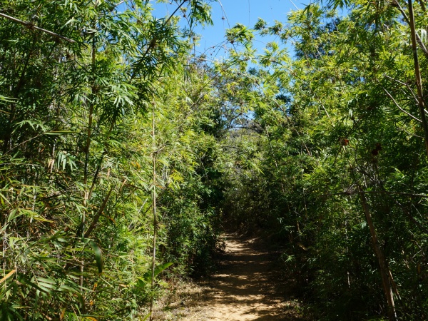
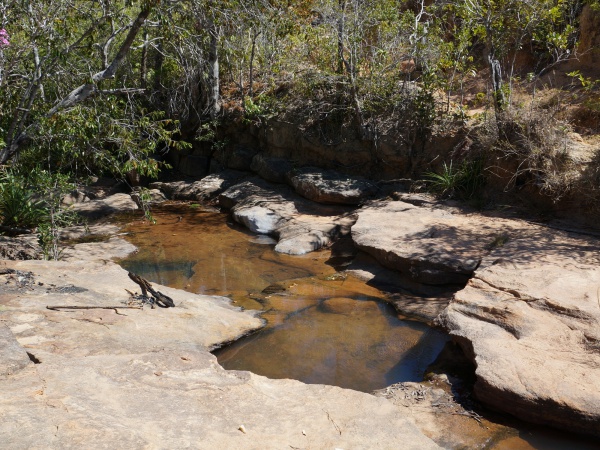
The route towards the south, however, is the more scenic path and will pass through a bamboo forest followed by a small natural pool where numerous birds can usually be spotted. This also makes an nice resting place and picnic spot.
| ||

|

|

|
Tour data
Date: 20th September 2019
Distance: 6.92 kilometres
Duration: 4 hours, 19 minutes
Average speed: 1.61 km/h
Minimum elevation: 316.08 metres
Maximum elevation: 624.53 metres
Total climb: 324.00 metres
Total descent: 308.46 metres
View all Black Lemur Camp Viewpoint Circuit photos
Go to Black Lemur Camp
