Difference between revisions of "Vohemar to Mazava by bike"
CampMaster (talk | contribs) |
CampMaster (talk | contribs) |
||
| Line 1: | Line 1: | ||
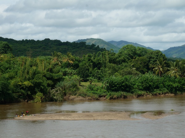
| − | '''Vohemar to Mazava is a 78km part of a bike route with indescribably beautiful scenery along the whole way. Except for a few hills, it's mostly flat and straight biking on a tarred road in excellent condition with the odd potholes which are more a nuisance | + | '''Vohemar to Mazava is a 78km part of a bike route with indescribably beautiful scenery along the whole way. Except for a few hills, it's mostly flat and straight biking on a tarred road in excellent condition with the odd potholes which are more a nuisance to cars than for bikes. Every few kilometres there's a small village with friendly locals greeting bypassers.''' |
[[File:Vohemar_to_Mazava_by_bike_006.jpg|600px]] | [[File:Vohemar_to_Mazava_by_bike_006.jpg|600px]] | ||
| − | As of 2020, there are no tourists in this area, although this will likely change in coming years once the | + | As of 2020, there are virtually no tourists in this area, although this will likely change in coming years once the often impassable RN5 between [[Ambilobe]] and [[Vohemar]] has been completed. Meanwhile, the area and its main road remain relatively isolated from the rest of the country and without wastefully half-empty chauffeur-driven 4x4 cars transporting tourists. |
[[File:Vohemar_to_Mazava_by_bike_007.jpg|600px]] | [[File:Vohemar_to_Mazava_by_bike_007.jpg|600px]] | ||
| − | The traffic is minimal | + | The traffic is most minimal during the rainy season from December to June and only a few crowded taxi-brousses and freight trucks pass throughout the day and plenty of zebus, making it even relatively safe for the odd reptile to cross the road without getting flattened. |
[[File:Vohemar_to_Mazava_by_bike_002.jpg|600px]] | [[File:Vohemar_to_Mazava_by_bike_002.jpg|600px]] | ||
Revision as of 18:27, 4 February 2020
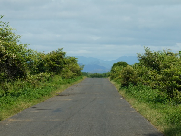
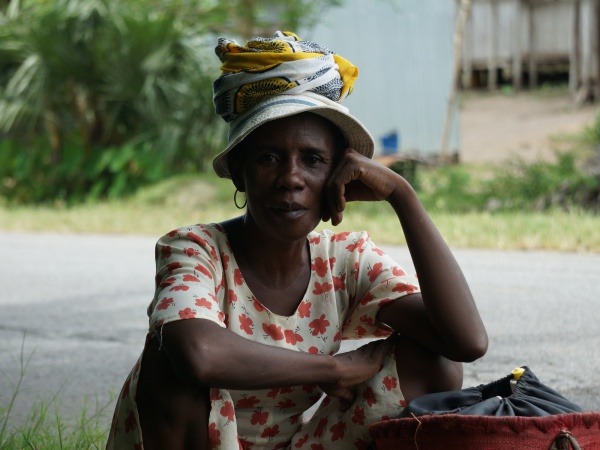
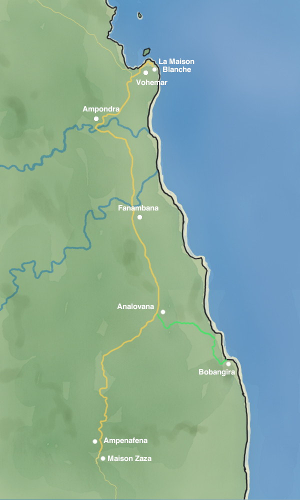
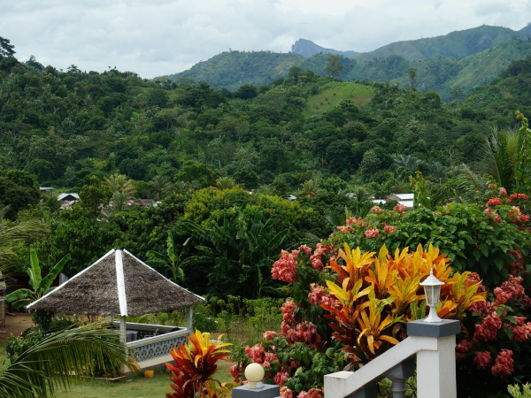
Vohemar to Mazava is a 78km part of a bike route with indescribably beautiful scenery along the whole way. Except for a few hills, it's mostly flat and straight biking on a tarred road in excellent condition with the odd potholes which are more a nuisance to cars than for bikes. Every few kilometres there's a small village with friendly locals greeting bypassers.
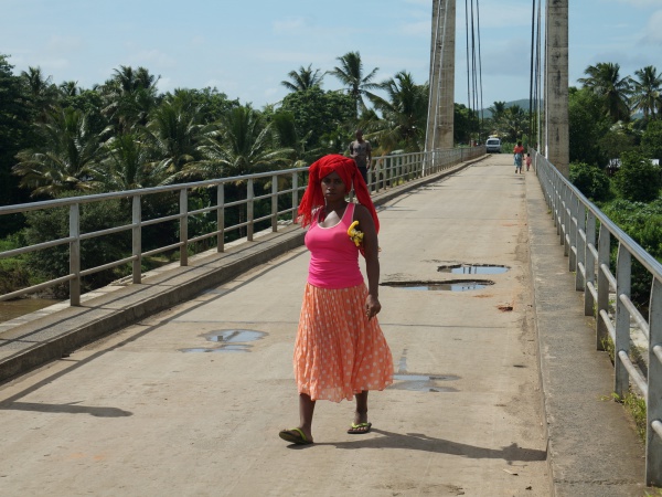
As of 2020, there are virtually no tourists in this area, although this will likely change in coming years once the often impassable RN5 between Ambilobe and Vohemar has been completed. Meanwhile, the area and its main road remain relatively isolated from the rest of the country and without wastefully half-empty chauffeur-driven 4x4 cars transporting tourists.
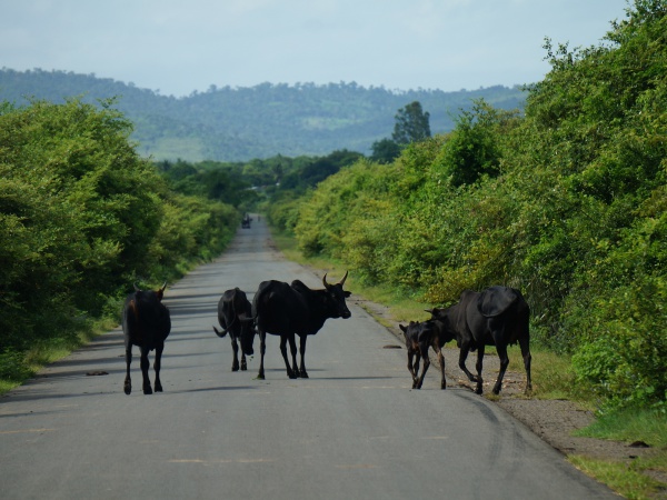
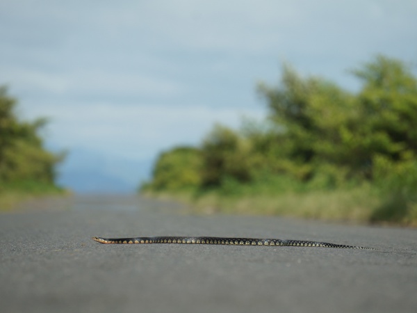
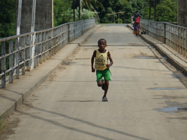
The traffic is most minimal during the rainy season from December to June and only a few crowded taxi-brousses and freight trucks pass throughout the day and plenty of zebus, making it even relatively safe for the odd reptile to cross the road without getting flattened.
Mazava is an unknown and so-far unmapped village four kilometres south of Ampanefena and halfway between Vohemar and Sambava. However, as none of the four hotels in Ampanefena offers particularly good value accommodation the best option is to stay at Maison Zaza in Mazava where vanilla farmers Mr and Mrs Zaza offer five bungalows on their property, two of which have a panoramic view of the surrounding landscapes (still in construction in February 2020).
For those who prefer to split this journey in two parts, a stay over at Bobangira Park almost half-way is highly recommended.
Tour data
Distance: 48.5 miles
Duration: 8 hours, 1 minutes, and 12 seconds
Average Speed: 6.0 mph
Minimum Elevation: 32 feet
Maximum Elevation: 237 feet
Total climb: 845 feet
Total descent: 961 feet
View all Vohemar to Mazava by bike photos
