Difference between revisions of "Vohemar to Sambava by bike"
CampMaster (talk | contribs) |
CampMaster (talk | contribs) |
||
| Line 33: | Line 33: | ||
[[File:Maison_Zaza_001.jpg|600px]] | [[File:Maison_Zaza_001.jpg|600px]] | ||
| − | + | The stretch after Mazava starts off with a couple of uphills and rewarding downhills with especially beautiful mountains until Antsirabe-Nord. | |
| − | |||
| − | |||
| − | |||
| − | |||
| − | |||
| − | |||
| − | |||
| − | |||
| − | |||
| − | |||
| − | |||
[[File:Mazava_to_Sambava_by_bike_001.jpg|600px]] | [[File:Mazava_to_Sambava_by_bike_001.jpg|600px]] | ||
| Line 82: | Line 71: | ||
Shortly before reaching the centre of Sambava, [[Mimi Hotel|Mimi Resto]] makes a good overnight stop to plan the next days, whether biking further to [[Antalaha]] or [[Marojejy National Park]]. The tourist office for the SAVA region is located in the same building. | Shortly before reaching the centre of Sambava, [[Mimi Hotel|Mimi Resto]] makes a good overnight stop to plan the next days, whether biking further to [[Antalaha]] or [[Marojejy National Park]]. The tourist office for the SAVA region is located in the same building. | ||
| − | ''Tour data Mazava to Sambava''<br> | + | [[File:Resto_Mimi_176.jpg|600px]] |
| + | |||
| + | <table><tr><td> | ||
| + | |||
| + | '''Tour data Vohemar to Mazava'''<br> | ||
| + | Distance: 48.5 miles<br> | ||
| + | Duration: 8 hours, 1 minutes, and 12 seconds<br> | ||
| + | Average Speed: 6.0 mph<br> | ||
| + | Minimum Elevation: 32 feet<br> | ||
| + | Maximum Elevation: 237 feet<br> | ||
| + | Total climb: 845 feet<br> | ||
| + | Total descent: 961 feet | ||
| + | |||
| + | View all [[Vohemar to Mazava by bike photos]] | ||
| + | |||
| + | </td><td> | ||
| + | |||
| + | '''Tour data Mazava to Sambava'''<br> | ||
Distance: 74.99 kilometres<br> | Distance: 74.99 kilometres<br> | ||
Duration: 9 hours, 23 minutes<br> | Duration: 9 hours, 23 minutes<br> | ||
| Line 91: | Line 97: | ||
Total descent: 705.92 metres | Total descent: 705.92 metres | ||
| − | [[ | + | View all [[Mazava to Sambava by bike photos]] |
| − | + | </td></tr></table> | |
Revision as of 03:01, 13 February 2020
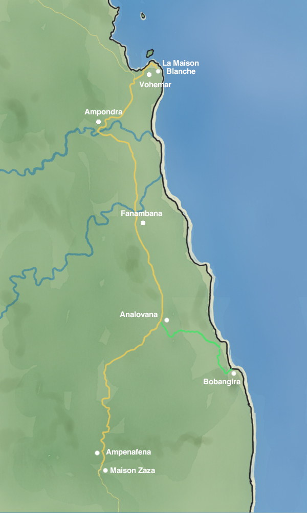
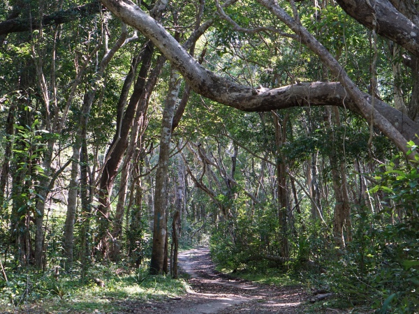
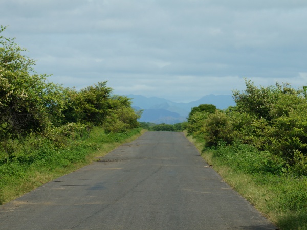
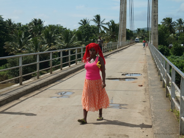
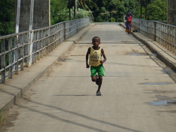
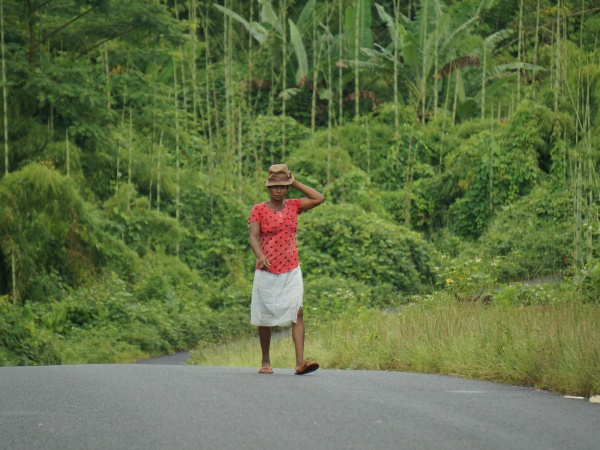
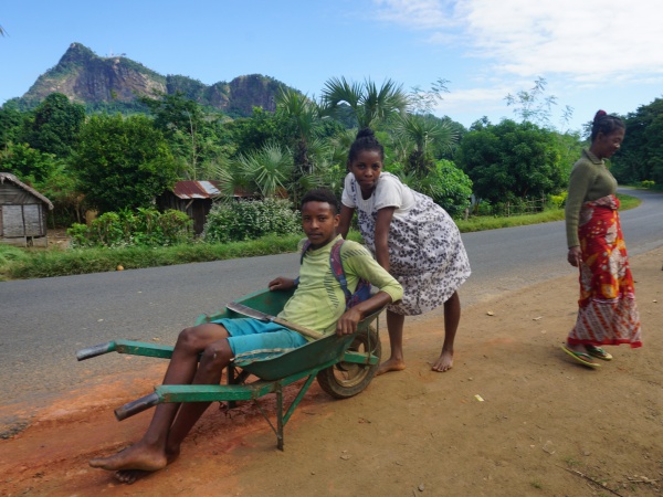
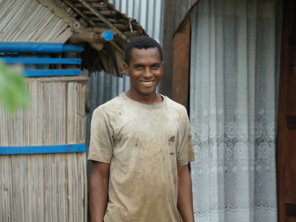
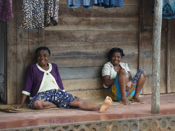
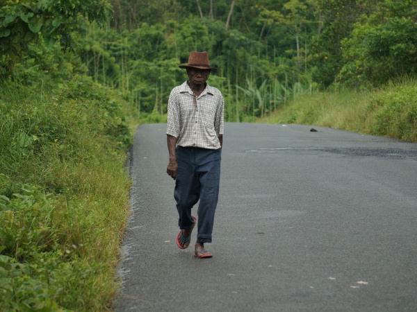
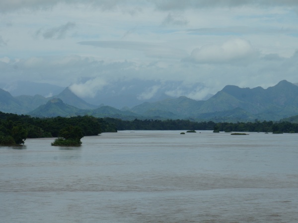
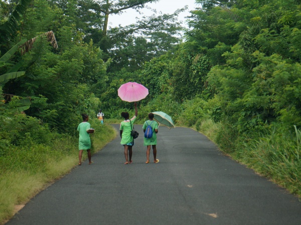
Vohemar to Sambava is a 150km bike route with stunning scenery the entire way. Except for a few hills, it's mostly flat and straight biking on a tarred road in excellent condition with the odd potholes which are more a nuisance for cars than for bikes. Every few kilometres there's a small village with friendly locals greeting bypassers.
There are virtually no tourists here, although this will likely change in coming years once the often impassable part of the RN5a between Ambilobe and Vohemar has been completed. Meanwhile, the area and its main road remain relatively isolated from the rest of the country.
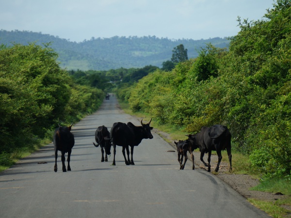
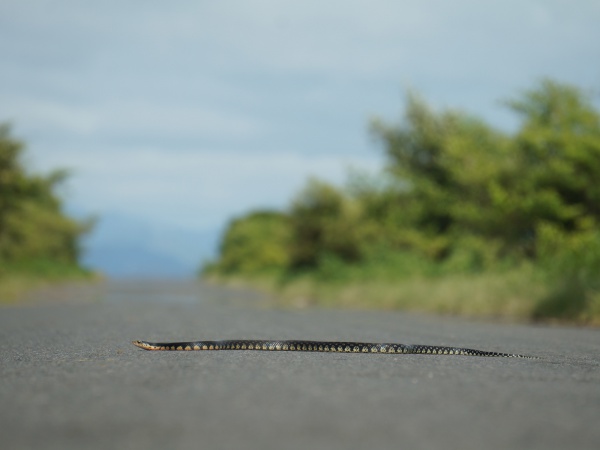
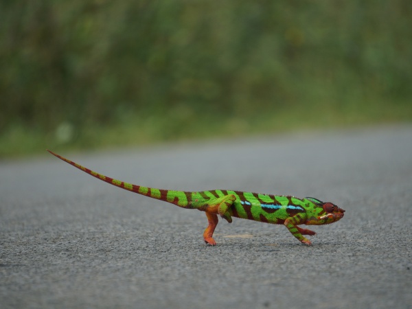
The traffic is minimal during the rainy season from December to June and only a few crowded taxi-brousses and freight-trucks pass throughout the day, making it relatively safe for the odd reptile to cross the road.
Unless you are on a racing bike, this journey is best done in two days, including a stay-over in the village of Mazava shortly after Amanefena.
Alternatively, for those who prefer to split the journey in three parts, a diversion to and stay over at Bobangira Park almost half-way to Ampanefena is recommended.
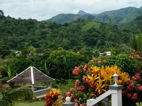
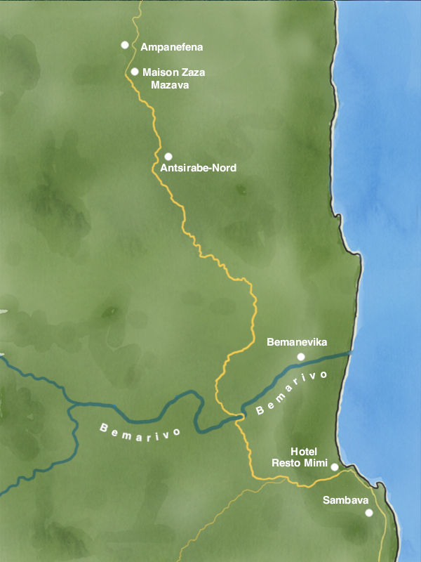
Mazava is an unknown village four kilometres south of Ampanefena and halfway between Vohemar and Sambava. As of 2020, none of the four hotels in Ampanefena offers particularly good value accommodation and so the best option is a stay at Maison Zaza in Mazava where vanilla farmers Mr and Mrs Zaza rent out five bungalows on their property, two of which have a panoramic view of the surrounding landscapes.
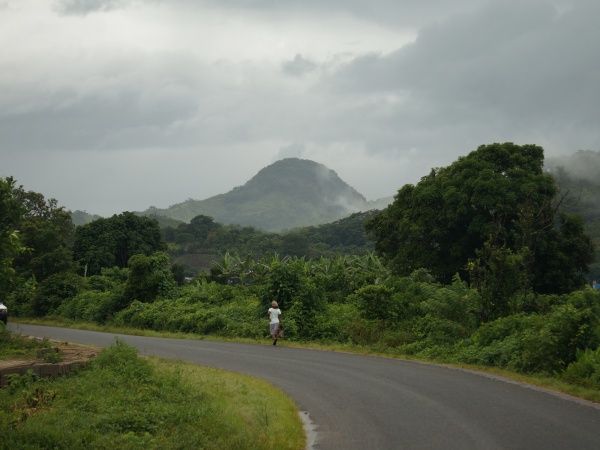
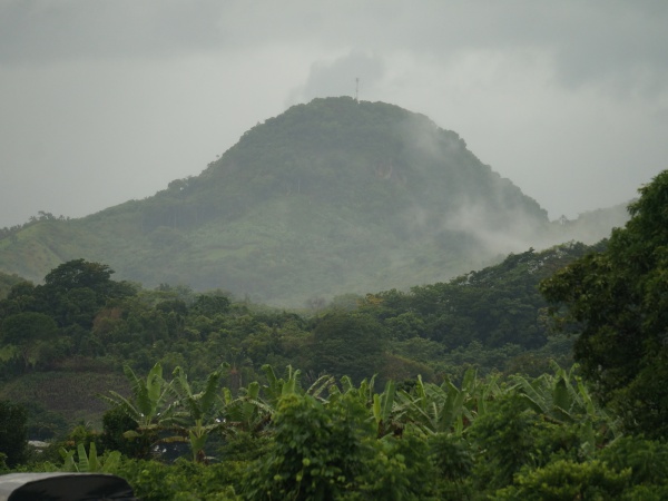
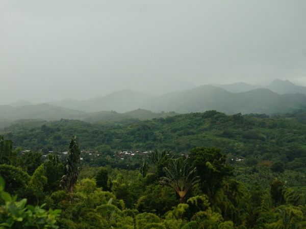
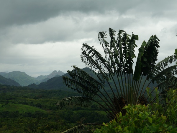
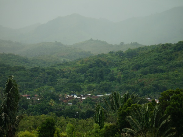
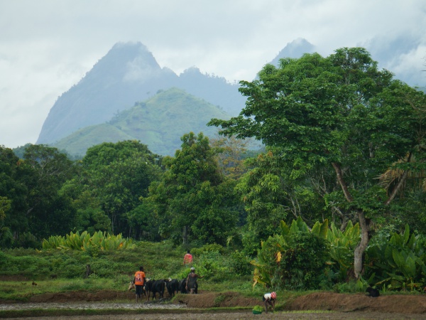
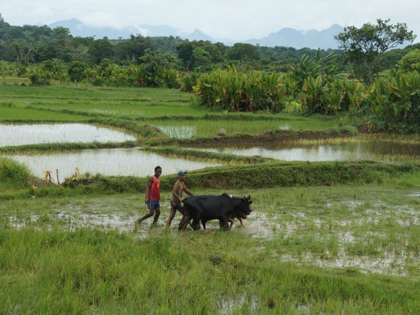
The stretch after Mazava starts off with a couple of uphills and rewarding downhills with especially beautiful mountains until Antsirabe-Nord.
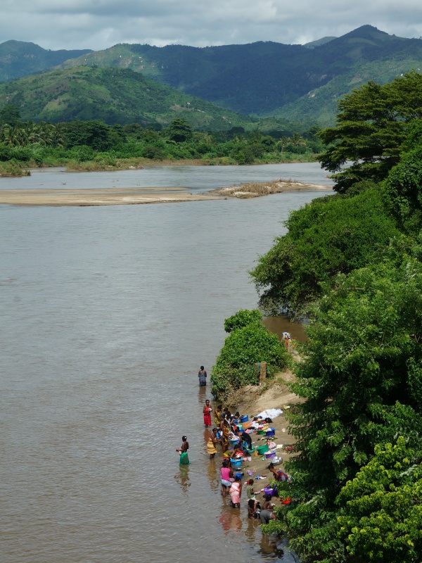
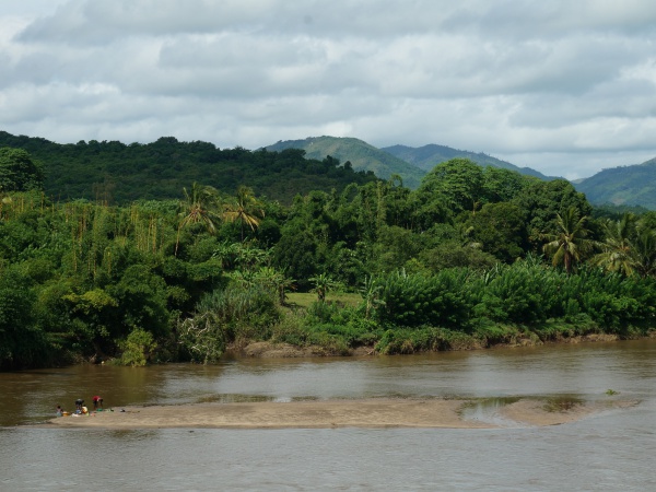
Closer to Sambava, crossing Bemarivo, a river where much vanilla, coffee, pepper, cloves is cultivated.
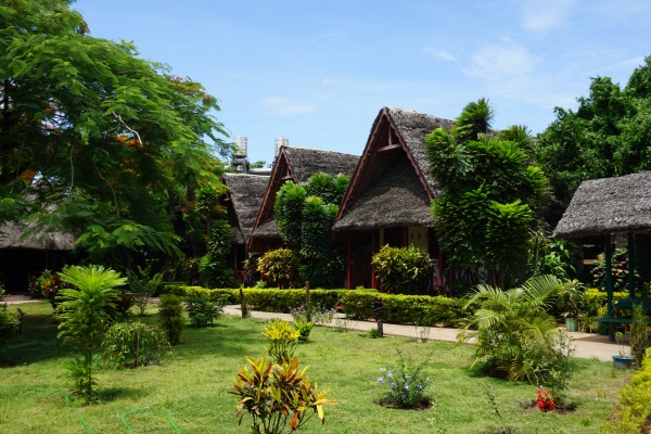
Shortly before reaching the centre of Sambava, Mimi Resto makes a good overnight stop to plan the next days, whether biking further to Antalaha or Marojejy National Park. The tourist office for the SAVA region is located in the same building.
|
Tour data Vohemar to Mazava View all Vohemar to Mazava by bike photos |
Tour data Mazava to Sambava View all Mazava to Sambava by bike photos |
