Difference between revisions of "Sambava-Ambohimitsinjo-Farahalana-Sambava by bike"
CampMaster (talk | contribs) |
CampMaster (talk | contribs) |
||
| Line 1: | Line 1: | ||
| − | '''This starts along along RN5a north of Sambava and turns left onto a secondary road along hills with panoramic views, passing the village of Antisraka and Ambohimitsinjo. From thereon the road continues through various plantations at lower altitudes until the Maheva river, passing through Ambodimanga, Masovariaka until Farahalana where the RN5a runs north back to Sambava.''' | + | '''This route starts along along RN5a north of Sambava and turns left onto a secondary road along hills with panoramic views, passing the village of Antisraka and Ambohimitsinjo. From thereon the road continues through various plantations at lower altitudes until the Maheva river, passing through Ambodimanga, Masovariaka until Farahalana where the RN5a runs north back to Sambava.''' |
[[File:Sambava-Ambohimitsinjo-Farahalana-Sambava_by_bike_001.jpg|600px]] | [[File:Sambava-Ambohimitsinjo-Farahalana-Sambava_by_bike_001.jpg|600px]] | ||
Revision as of 20:19, 23 August 2020
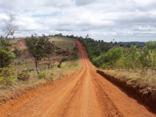
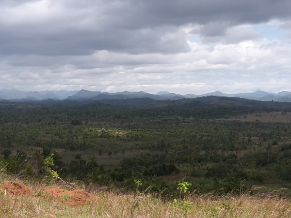
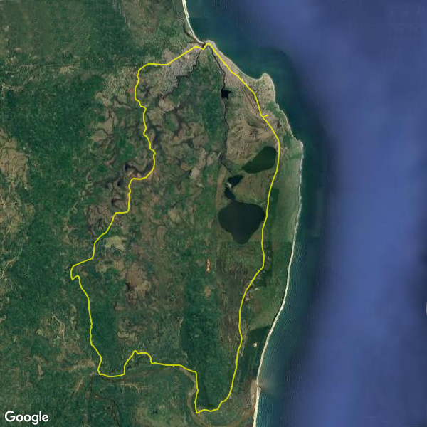
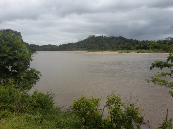
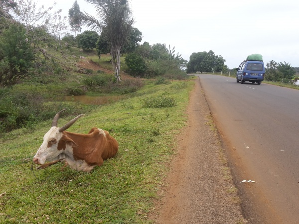
This route starts along along RN5a north of Sambava and turns left onto a secondary road along hills with panoramic views, passing the village of Antisraka and Ambohimitsinjo. From thereon the road continues through various plantations at lower altitudes until the Maheva river, passing through Ambodimanga, Masovariaka until Farahalana where the RN5a runs north back to Sambava.
During the rainy season, the road along the river until Farahalana is very muddy and more or less bikeable in places.
Tour data
Day: 23rd August 2020
Distance: 56.4 kilometres
Duration: 5 hours and 43 minutes
Average speed : 9.9 km/h
Minimum elevation: 10 metres
Maximum elevation: 86 metres
Total climb: 385 metres
Total descent: 381 metres
View all Sambava-Ambohimitsinjo-Farahalana-Sambava by bike photos
