Difference between revisions of "Baie des Pigeons"
(Created page with '<googlemap version="0.9" lat="-12.25765" lon="49.374962" type="satellite" zoom="13" controls="large"> -12.242049, 49.378738 Baie des Pigeons </googlemap>') |
|||
| (16 intermediate revisions by 2 users not shown) | |||
| Line 1: | Line 1: | ||
| − | + | '''Baie des Pigeons (Pigeon Bay) is a deserted, yet easily accessible bay located near [[Diego Suarez]] in northern Madagascar. From the village of Ramena it's only an about four kilometres walk along an unpaved, sandy road.''' | |
| − | -12. | + | |
| − | Baie des Pigeons | + | {| class="imageTable" |
| − | </ | + | |- |
| + | |colspan="3" | [[File:Baie_des_Pigeons_004.jpg|600px]] | ||
| + | |- | ||
| + | |[[File:Baie_des_Pigeons_001.jpg|196px]] | ||
| + | |align="center"|[[File:Baie_des_Pigeons_007.jpg|196px]] | ||
| + | |align="right"|[[File:Baie_des_Pigeons_009.jpg|196px]] | ||
| + | |- | ||
| + | |[[File:Baie_des_Pigeons_010.jpg|196px]] | ||
| + | |align="center"|[[File:Baie_des_Pigeons_002.jpg|196px]] | ||
| + | |align="right"|[[File:Baie_des_Pigeons_008.jpg|196px]] | ||
| + | |} | ||
| + | |||
| + | Starting in [[Ramena]], the road passes the military base ORANGEA where soldiers will charge a 5,000 Ariary entry fee per person (November 2011). After some old ruins of former military buildings, the road sneaks up a small hill towards [[Cap Miné Lighthouse]]. Near the lighthouse are some canons and other remains of defense constructions built by the French Army. From there it is only a short walk to [[Baie des Dunes]]. A stroll along the beach leads to a rocky half-island, which separates Baie des Dunes from Baie des Pigeons. | ||
| + | |||
| + | Baie des Pigeons is completely isolated. At high tide the turquoise water invites for a swim. On the south side of the bay are high dunes visible, from which one has a wonderful view over the bays and the Indian Ocean. Below the dunes a path leads to [[Sakalava Bay]], passing two more beaches of which the first one is the most beautiful. The walk from Ramena to Sakalava Bay takes between 2.5 and 3 hours. | ||
| + | |||
| + | <div style="max-width:600px;"> | ||
| + | {{#display_map: | ||
| + | -12.245237, 49.383631~'''Baie des Pigeons'''~~; | ||
| + | |type=satellite | ||
| + | |service=google | ||
| + | |width=auto | ||
| + | |height=400 | ||
| + | |zoom=13 | ||
| + | |controls=pan, zoom, type, scale | ||
| + | |copycoords=yes | ||
| + | }} | ||
| + | </div> | ||
| + | |||
| + | '''Additional information'''<br> | ||
| + | * View all [[Baie des Pigeons photos]] | ||
| + | * Note: In 2011 there were reports of at least five non-violent robberies in the area. | ||
Latest revision as of 08:12, 2 December 2020
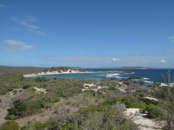
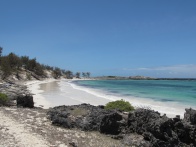
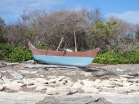
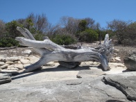
Baie des Pigeons (Pigeon Bay) is a deserted, yet easily accessible bay located near Diego Suarez in northern Madagascar. From the village of Ramena it's only an about four kilometres walk along an unpaved, sandy road.
| ||
|
|
|
|
|
|
Starting in Ramena, the road passes the military base ORANGEA where soldiers will charge a 5,000 Ariary entry fee per person (November 2011). After some old ruins of former military buildings, the road sneaks up a small hill towards Cap Miné Lighthouse. Near the lighthouse are some canons and other remains of defense constructions built by the French Army. From there it is only a short walk to Baie des Dunes. A stroll along the beach leads to a rocky half-island, which separates Baie des Dunes from Baie des Pigeons.
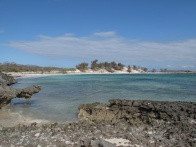
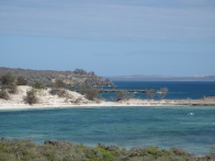
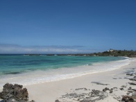
Baie des Pigeons is completely isolated. At high tide the turquoise water invites for a swim. On the south side of the bay are high dunes visible, from which one has a wonderful view over the bays and the Indian Ocean. Below the dunes a path leads to Sakalava Bay, passing two more beaches of which the first one is the most beautiful. The walk from Ramena to Sakalava Bay takes between 2.5 and 3 hours.
Additional information
- View all Baie des Pigeons photos
- Note: In 2011 there were reports of at least five non-violent robberies in the area.
