Difference between revisions of "Ambolidimaka"
From MadaCamp
| (2 intermediate revisions by the same user not shown) | |||
| Line 12: | Line 12: | ||
''Location:'' 15km from Ambanja on the Andoharano road. | ''Location:'' 15km from Ambanja on the Andoharano road. | ||
| − | ''History:'' Formerly, a great tree called Dimaka ( | + | ''History:'' Formerly, a great tree called Dimaka (''Tahina spectabilis'') was at the centre of the village. It was used for shade and became the emblem of the village and the source of its name, which means ''at the foot of the Dimaka''. The tree was struck by lightning in the 1980s. |
{| class="imageTable" | {| class="imageTable" | ||
| Line 25: | Line 25: | ||
''Population:'' Roughly 4,000 inhabitants. They are almost completely agricultural, farming cocoa, coffee, beans, etc. | ''Population:'' Roughly 4,000 inhabitants. They are almost completely agricultural, farming cocoa, coffee, beans, etc. | ||
| − | < | + | <div style="max-width:600px;"> |
| − | + | {{#display_map: | |
| − | + | -13.758505, 48.487039~'''Ambolidimaka'''~~; | |
| − | </ | + | |type=satellite |
| + | |service=google | ||
| + | |width=auto | ||
| + | |height=400 | ||
| + | |zoom=16 | ||
| + | |controls=pan, zoom, type, scale | ||
| + | |copycoords=yes | ||
| + | |icon=https://www.madacamp.com/images/madagascar/Green_marker.png | ||
| + | }} | ||
| + | </div> | ||
'''GPS coordinates'''<br> | '''GPS coordinates'''<br> | ||
| Line 34: | Line 43: | ||
Garmin: -13.759026, 48.488541 | Garmin: -13.759026, 48.488541 | ||
| + | == Photos == | ||
| + | |||
| + | View all [[Ambolidimaka photos]] | ||
| + | |||
| + | == Additional information == | ||
| − | |||
| − | |||
* [[Sambirano Trekking Tour]] | * [[Sambirano Trekking Tour]] | ||
| + | * [[Ambanja_to_Bemaneviky_by_bike|Bike ride Ambanja to Bemaneviky]] - 30.74 km | ||
Latest revision as of 09:32, 21 December 2020
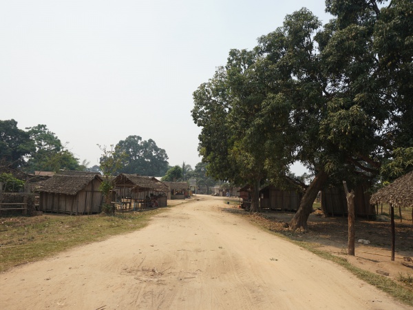
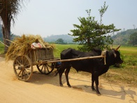
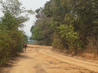
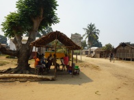
The village of Ambolidimaka is located along the Ramena River in the northwest of Madagascar.
| ||
|
|
|
Location: 15km from Ambanja on the Andoharano road.
History: Formerly, a great tree called Dimaka (Tahina spectabilis) was at the centre of the village. It was used for shade and became the emblem of the village and the source of its name, which means at the foot of the Dimaka. The tree was struck by lightning in the 1980s.
| ||
|
|
|
Population: Roughly 4,000 inhabitants. They are almost completely agricultural, farming cocoa, coffee, beans, etc.
Loading map...
GPS coordinates
Google: 13°45'32.5"S 48°29'18.8"E
Garmin: -13.759026, 48.488541
Photos
View all Ambolidimaka photos