Difference between revisions of "Ambobaka"
From MadaCamp
| (2 intermediate revisions by the same user not shown) | |||
| Line 20: | Line 20: | ||
The main part of the village is located after the bridge coming from Ambanja. | The main part of the village is located after the bridge coming from Ambanja. | ||
| − | < | + | <div style="max-width:600px;"> |
| − | + | {{#display_map: | |
| − | + | -13.751951, 48.517211~'''Ambobaka'''~~; | |
| − | </ | + | |type=satellite |
| + | |service=google | ||
| + | |width=auto | ||
| + | |height=400 | ||
| + | |zoom=16 | ||
| + | |controls=pan, zoom, type, scale | ||
| + | |copycoords=yes | ||
| + | |icon=https://www.madacamp.com/images/madagascar/Green_marker.png | ||
| + | }} | ||
| + | </div> | ||
'''GPS coordinates'''<br> | '''GPS coordinates'''<br> | ||
| Line 29: | Line 38: | ||
Garmin: -13.751951, 48.517211 | Garmin: -13.751951, 48.517211 | ||
| + | == Photos == | ||
| + | |||
| + | View all [[Ambobaka photos]] | ||
| + | |||
| + | == Additional information == | ||
| − | |||
| − | |||
* [[Sambirano Trekking Tour]] | * [[Sambirano Trekking Tour]] | ||
| + | * [[Ambanja_to_Bemaneviky_by_bike|Bike ride Ambanja to Bemaneviky]] - 30.74 km | ||
Latest revision as of 09:35, 21 December 2020
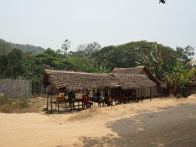
The village of Ambobaka is located along the Ramena River in the northwest of Madagascar. From Ambanja to Ambobaka it is about 19 kilometres along a dirt road.
| ||
|
|
|
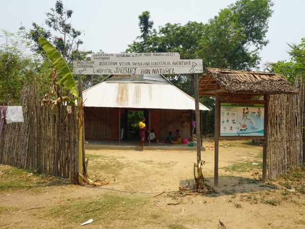
Amongst the locals of the region, Ambobaka is well known for its traditional healers using medicinal plants growing in the area. There is also a small hospital specialised in healing broken bones and sprains using medicinal plants (L' Hopital Jaosidy Don Naturel).
A short pirogue trip on the Ramena River takes one to the Bon Pères cascade.
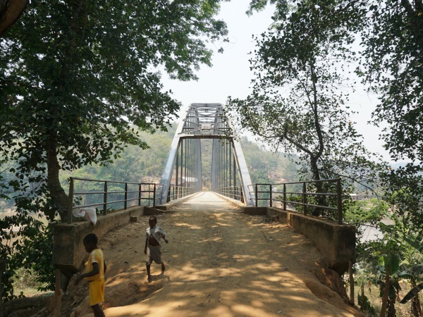
The main part of the village is located after the bridge coming from Ambanja.
Loading map...
GPS coordinates
Google: 13°45'07.0"S 48°31'02.0"E
Garmin: -13.751951, 48.517211
Photos
View all Ambobaka photos
