Difference between revisions of "Antanamazava"
From MadaCamp
| (One intermediate revision by the same user not shown) | |||
| Line 13: | Line 13: | ||
|} | |} | ||
| − | < | + | <div style="max-width:600px;"> |
| − | + | {{#display_map: | |
| − | + | -13.869635, 48.518713~'''Antanamazava'''~~; | |
| − | </ | + | |type=satellite |
| + | |service=google | ||
| + | |width=auto | ||
| + | |height=400 | ||
| + | |zoom=16 | ||
| + | |controls=pan, zoom, type, scale | ||
| + | |copycoords=yes | ||
| + | |icon=https://www.madacamp.com/images/madagascar/Green_marker.png | ||
| + | }} | ||
| + | </div> | ||
'''GPS coordinates'''<br> | '''GPS coordinates'''<br> | ||
| Line 22: | Line 31: | ||
Garmin: -13.869145, 48.520247 | Garmin: -13.869145, 48.520247 | ||
| + | == Photos == | ||
| + | |||
| + | View all [[Antanamazava photos]] | ||
| + | |||
| + | == Additional information == | ||
| − | |||
| − | |||
* [[Sambirano Trekking Tour]] | * [[Sambirano Trekking Tour]] | ||
| + | * [[Bemaneviky_to_Marotolana_by_bike|Bike ride Bemaneviky to Marotolana]] - 30.74 km | ||
Revision as of 14:40, 21 December 2020
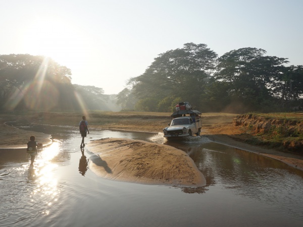
Antanamazava is a small village located near the Sambirano River in the northwest of Madagascar.
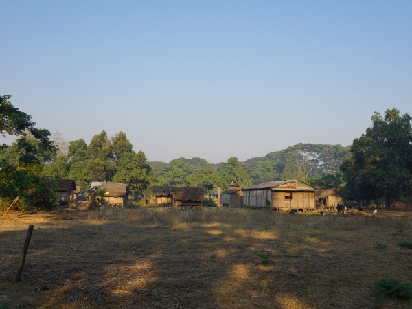
| ||
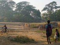
|
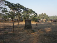
|
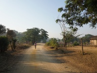
|
| ||
Sorry, we have no imagery here.
Sorry, we have no imagery here.
Sorry, we have no imagery here.
Sorry, we have no imagery here.
Sorry, we have no imagery here.
Sorry, we have no imagery here.
GPS coordinates
Google: 13°52'08.9"S 48°31'12.9"E
Garmin: -13.869145, 48.520247
Photos
View all Antanamazava photos

