Difference between revisions of "Marovato (Ambanja)"
From MadaCamp
| Line 46: | Line 46: | ||
* [[Sambirano Trekking Tour]] | * [[Sambirano Trekking Tour]] | ||
* [[Bemaneviky_to_Marotolana_by_bike|Bike ride Bemaneviky to Marotolana]] - 30.74 km | * [[Bemaneviky_to_Marotolana_by_bike|Bike ride Bemaneviky to Marotolana]] - 30.74 km | ||
| − | * [[Marovato_to_Andranomandevy_by_bike|Bike ride Marovato to | + | * [[Marovato_to_Andranomandevy_by_bike|Bike ride Marovato to Andranomandevy]] - 24.30 km |
Latest revision as of 06:38, 22 December 2020
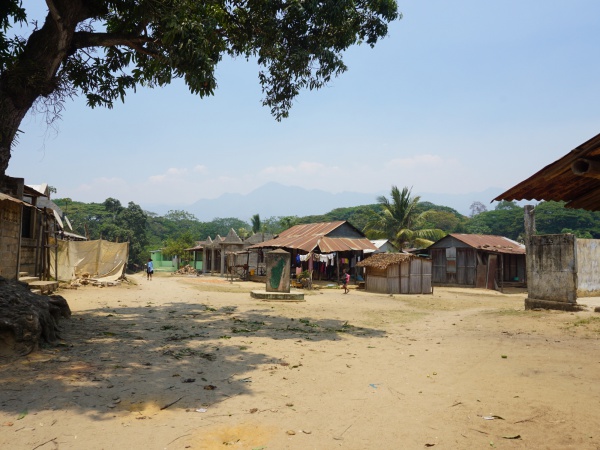
Marovato is a common name for villages in Madagascar. This Marovato refers to a village and commune in the Ambanja district.
| ||
|
|
|
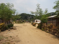
Marovato is located at the Sambirano River in the northwest of Madagascar. The village name can be translated into "many stones" - maro means "many" and vato means "stone".
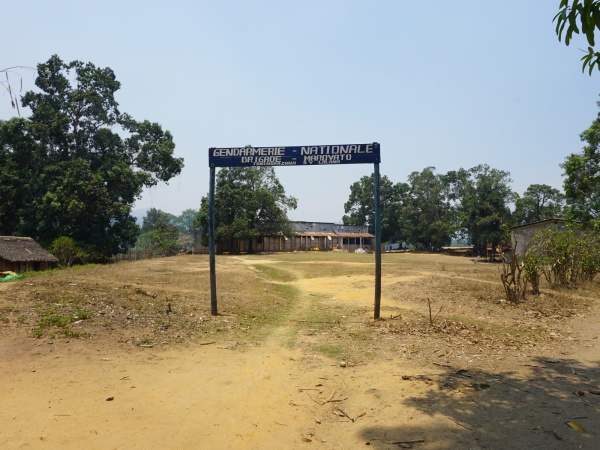
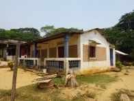
Entering the village from the north, there is a station of the National Gendarmerie responsible for land and road. About 100 metres from the village centre the Collège d'Enseignement Générale (College of General Education, CEG) can be found.
For a chilled drink stop by at the EPI-BAR (shop & bar) named Pigeon Vert (Green Pigeon).
Loading map...
GPS coordinates
Google: 13°56'49.6"S 48°33'17.4"E
Garmin: -13.947110, 48.554842
Photos
View all Marovato photos
Additional information
- Sambirano Trekking Tour
- Bike ride Bemaneviky to Marotolana - 30.74 km
- Bike ride Marovato to Andranomandevy - 24.30 km
