Difference between revisions of "Antsirasira"
From MadaCamp
| (3 intermediate revisions by the same user not shown) | |||
| Line 21: | Line 21: | ||
|} | |} | ||
| + | Antsirasira is usually the last stop for cars coming from Ambanja. | ||
| − | < | + | <div style="max-width:600px;"> |
| − | + | {{#display_map: | |
| − | + | -13.940492, 48.553775~'''Antsirasira'''~~; | |
| − | </ | + | |type=satellite |
| + | |service=google | ||
| + | |width=auto | ||
| + | |height=400 | ||
| + | |zoom=15 | ||
| + | |controls=pan, zoom, type, scale | ||
| + | |copycoords=yes | ||
| + | |icon=https://www.madacamp.com/images/madagascar/Green_marker.png | ||
| + | }} | ||
| + | </div> | ||
'''GPS coordinates'''<br> | '''GPS coordinates'''<br> | ||
| Line 31: | Line 41: | ||
Garmin: -13.936202, 48.552659 | Garmin: -13.936202, 48.552659 | ||
| + | == Photos == | ||
| + | |||
| + | View all [[Antsirasira photos]] | ||
| + | |||
| + | == Additional information == | ||
| − | |||
| − | |||
* [[Sambirano Trekking Tour]] | * [[Sambirano Trekking Tour]] | ||
| + | * [[Bemaneviky_to_Marotolana_by_bike|Bike ride Bemaneviky to Marotolana]] - 30.74 km | ||
Latest revision as of 06:46, 22 December 2020
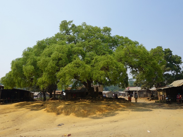
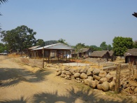
Antsirasira is a small village located at the Sambirano River in the Ambanja district in the northwest of Madagascar.
| ||

|
|

|
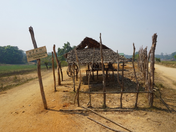
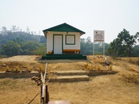
At the village entrance coming from the north there is a Madagascar National Parks guard post for the Tsaratanana Strict Nature Reserve.
| ||
|
|
|
Antsirasira is usually the last stop for cars coming from Ambanja.
Loading map...
GPS coordinates
Google: 13°56'10.3"S 48°33'09.6"E
Garmin: -13.936202, 48.552659
Photos
View all Antsirasira photos