Difference between revisions of "Andranomandevy (Ambanja)"
From MadaCamp
| (6 intermediate revisions by the same user not shown) | |||
| Line 21: | Line 21: | ||
|} | |} | ||
| − | A road following the Sambirano River | + | A road following the Sambirano River downstream leads to [[Ambanja]] (30 kilometres), the capital of the region. |
{| class="imageTable" | {| class="imageTable" | ||
| Line 38: | Line 38: | ||
| − | < | + | <div style="max-width:600px;"> |
| − | -13.810881, 48.471675 | + | {{#display_map: |
| − | Andranomandevy (Ambanja) | + | -13.810881, 48.471675~'''Andranomandevy''' (Ambanja)~~; |
| − | </ | + | |type=satellite |
| + | |service=google | ||
| + | |width=auto | ||
| + | |height=400 | ||
| + | |zoom=16 | ||
| + | |controls=pan, zoom, type, scale | ||
| + | |copycoords=yes | ||
| + | |icon=https://www.madacamp.com/images/madagascar/Green_marker.png | ||
| + | }} | ||
| + | </div> | ||
'''Geographic coordinates'''<br> | '''Geographic coordinates'''<br> | ||
| Line 48: | Line 57: | ||
Google: 13°48'39.2"S 48°28'18.0"E<br> | Google: 13°48'39.2"S 48°28'18.0"E<br> | ||
Garmin: -13.810881, 48.471675--> | Garmin: -13.810881, 48.471675--> | ||
| + | |||
| + | == Photos == | ||
View all [[Andranomandevy_(Ambanja)_photos|Andranomandevy photos]] | View all [[Andranomandevy_(Ambanja)_photos|Andranomandevy photos]] | ||
| + | |||
| + | == Additional information == | ||
| + | |||
| + | * [[Sambirano Trekking Tour]] | ||
| + | * [[Marovato_to_Andranomandevy_by_bike|Bike ride Marovato to Andranomandevy]] - 24.30 km | ||
| + | * [[Andranomandevy_to_Ambanja_by_bike|Bike ride Andranomandevy to Ambanja]] - 8.05 kilometres till hitting the road to Ambanja | ||
Revision as of 09:40, 23 December 2020
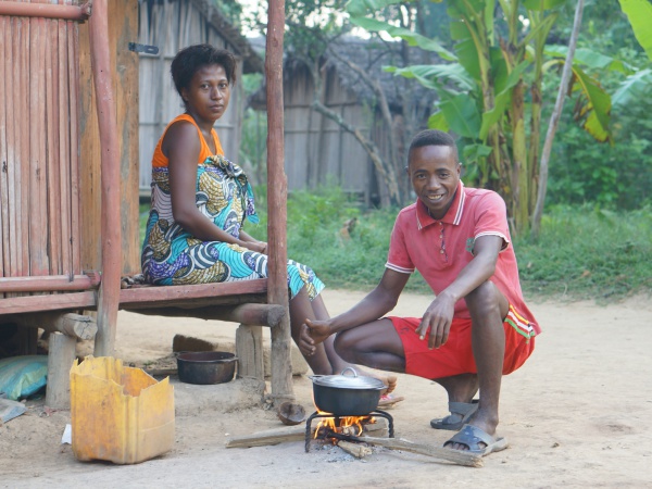
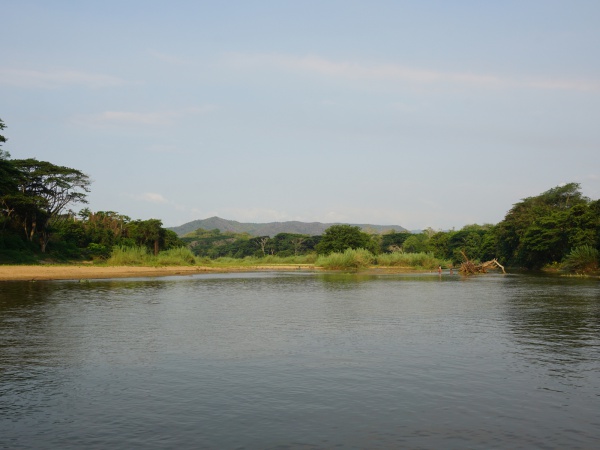
Andranomandevy is a common name for villages in Madagascar. This Andranomandevy refers to a small village located near the Sambirano River in the northwest of Madagascar.
| ||
|
|
|
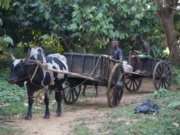
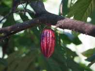
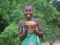
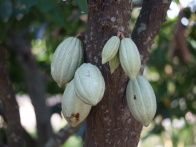
Andranomandevy is situated in the heart of the cacao region. In the centre of the village are some very basic shops. Elevated on a hilltop is Auberge Panoramique "Mahatsinjo", an eco-cottage for up to 16 people managed by the Toky Miray association of women from the village.
| ||
|
|
|
A road following the Sambirano River downstream leads to Ambanja (30 kilometres), the capital of the region.
| ||
|
|
|
Accommodation
Auberge Panoramique "Mahatsinjo"
Tel: +261 (0)32 02 079 54 (Nathanaël Oudiette)
Geographic coordinates
13.810881S 48.471675E
Photos
View all Andranomandevy photos
Additional information
- Sambirano Trekking Tour
- Bike ride Marovato to Andranomandevy - 24.30 km
- Bike ride Andranomandevy to Ambanja - 8.05 kilometres till hitting the road to Ambanja
