Difference between revisions of "S 15°40.890' E049°57.443'"
From MadaCamp
CampMaster (talk | contribs) |
|||
| Line 14: | Line 14: | ||
|} | |} | ||
| − | < | + | <div style="max-width:600px;"> |
| − | -15.681500, 49.957383 | + | {{#display_map: |
| − | S 15°40.890' | + | -15.681500, 49.957383~'''S 15°40.890' |
| − | E049°57.443' | + | E049°57.443''''~~; |
| − | </ | + | |type=satellite |
| + | |service=google | ||
| + | |width=auto | ||
| + | |height=400 | ||
| + | |zoom=17 | ||
| + | |controls=pan, zoom, type, scale | ||
| + | |copycoords=yes | ||
| + | |icon=https://www.madacamp.com/images/madagascar/Green_marker.png | ||
| + | }} | ||
| + | </div> | ||
Revision as of 14:33, 29 December 2020
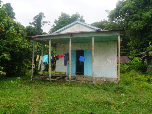
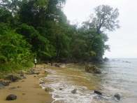
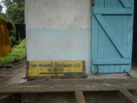
This is the location of a national park office along the trail between Ambanizana and Ambodiforaha. The building is at the entrance of the Masoala National Park in an area where one of the world's few remaining primary rainforests grows directly onto the oceanfront.
| ||
|
|
|
|
|
|
Loading map...