Difference between revisions of "Ambatolaidama"
From MadaCamp
(Created page with '<googlemap version="0.9" lat="-13.688687" lon="48.581543" controls="large"> -15.288483, 50.011867 Ambatolaidama - Entrance to Masoala National Park </googlemap> '''GPS Coord…') |
|||
| (6 intermediate revisions by 2 users not shown) | |||
| Line 1: | Line 1: | ||
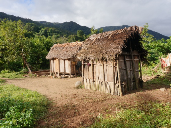
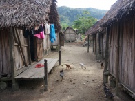
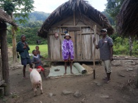
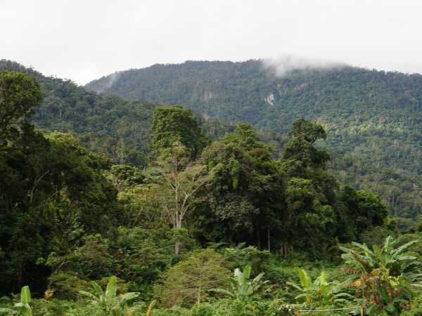
| − | + | '''Ambatolaidama is a very small village with only a few huts on the [[Masoala|Masoala peninsula]] in the north east of Madagascar. The village is located just at the entrance to the [[Masoala National Park]]. Next to the village there is also a small park office.''' | |
| − | -15. | + | |
| − | Ambatolaidama - Entrance to [[Masoala National Park]] | + | {| class="imageTable" |
| − | </ | + | |- |
| + | |colspan="3" | [[File:Ambatolaidama_007.jpg|600px]] | ||
| + | |- | ||
| + | |[[File:Ambatolaidama_001.jpg|196px]] | ||
| + | |align="center"|[[File:Ambatolaidama_002.jpg|196px]] | ||
| + | |align="right"|[[File:Ambatolaidama_003.jpg|196px]] | ||
| + | |- | ||
| + | |colspan="3" | [[File:Ambatolaidama_010.jpg|600px]] | ||
| + | |} | ||
| + | |||
| + | <div style="max-width:600px;"> | ||
| + | {{#display_map: | ||
| + | -15.288467, 50.011685~'''Ambatolaidama''' - Entrance to '''[[Masoala National Park]]'''~~; | ||
| + | |type=satellite | ||
| + | |service=google | ||
| + | |width=auto | ||
| + | |height=400 | ||
| + | |zoom=16 | ||
| + | |controls=pan, zoom, type, scale | ||
| + | |copycoords=yes | ||
| + | |icon=https://www.madacamp.com/images/madagascar/Green_marker.png | ||
| + | }} | ||
| + | </div> | ||
'''GPS Coordinates'''<br> | '''GPS Coordinates'''<br> | ||
S 15°17.309'<br> | S 15°17.309'<br> | ||
E050°00.712'<br> | E050°00.712'<br> | ||
| − | 375m | + | 375m elevation |
| + | |||
| + | == Photos == | ||
| + | |||
| + | View all [[Ambatolaidama photos]] | ||
| + | |||
| + | == Additional information == | ||
| + | |||
| + | * 5 days trek from [[Maroantsetra Antalaha trek|Maroantsetra to Antalaha]] | ||
Latest revision as of 06:56, 31 December 2020
Ambatolaidama is a very small village with only a few huts on the Masoala peninsula in the north east of Madagascar. The village is located just at the entrance to the Masoala National Park. Next to the village there is also a small park office.

| ||

|

|

|

| ||
Loading map...
GPS Coordinates
S 15°17.309'
E050°00.712'
375m elevation
Photos
View all Ambatolaidama photos
Additional information
- 5 days trek from Maroantsetra to Antalaha