Difference between revisions of "Analampotsy"
From MadaCamp
CampMaster (talk | contribs) m (Text replacement - "<googlemap version="0.9" (.*)>" to "<googlemap version="0.9" $1 style="width:100%;max-width:600px;">") |
|||
| Line 12: | Line 12: | ||
|} | |} | ||
| − | < | + | <div style="max-width:600px;"> |
| − | -15.100317, 50.103546 | + | {{#display_map: |
| − | + | -15.100317, 50.103546~'''Analampotsy'''~~; | |
| − | </ | + | |type=satellite |
| + | |service=google | ||
| + | |width=auto | ||
| + | |height=400 | ||
| + | |zoom=16 | ||
| + | |controls=pan, zoom, type, scale | ||
| + | |copycoords=yes | ||
| + | |icon=https://www.madacamp.com/images/madagascar/Green_marker.png | ||
| + | }} | ||
| + | </div> | ||
'''GPS Coordinates'''<br> | '''GPS Coordinates'''<br> | ||
| Line 21: | Line 30: | ||
E050°06.196'<br> | E050°06.196'<br> | ||
109m elevation | 109m elevation | ||
| + | |||
| + | == Photos == | ||
View all [[Analampotsy photos]] | View all [[Analampotsy photos]] | ||
| + | |||
| + | == Additional information == | ||
| + | |||
| + | * 5 days trek from [[Maroantsetra Antalaha trek|Maroantsetra to Antalaha]] | ||
Revision as of 07:19, 31 December 2020
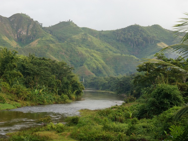
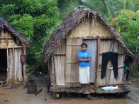
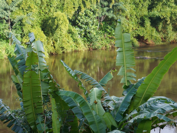
Analampotsy is one of the many small villages one passes when trekking from Maroantsetra to Antalaha. The village is located next to a river, just 3 hours by foot from Marofinaritra where the road to Antalaha starts from.

| ||

|

|

|

| ||
Sorry, we have no imagery here.
Sorry, we have no imagery here.
Sorry, we have no imagery here.
Sorry, we have no imagery here.
Sorry, we have no imagery here.
Sorry, we have no imagery here.
Sorry, we have no imagery here.
Sorry, we have no imagery here.
Sorry, we have no imagery here.
Sorry, we have no imagery here.
Sorry, we have no imagery here.
Sorry, we have no imagery here.
GPS Coordinates
S 15°06.019'
E050°06.196'
109m elevation
Photos
View all Analampotsy photos
Additional information
- 5 days trek from Maroantsetra to Antalaha

