Difference between revisions of "Namantoana"
From MadaCamp
CampMaster (talk | contribs) |
|||
| (One intermediate revision by the same user not shown) | |||
| Line 22: | Line 22: | ||
|} | |} | ||
| − | + | <div style="max-width:600px;"> | |
| − | < | + | {{#display_map: |
| − | -15.936642, 50.118647 | + | -15.936642, 50.118647~'''Namantoana'''~~; |
| − | + | |type=satellite | |
| − | </ | + | |service=google |
| + | |width=auto | ||
| + | |height=400 | ||
| + | |zoom=15 | ||
| + | |controls=pan, zoom, type, scale | ||
| + | |copycoords=yes | ||
| + | |icon=https://www.madacamp.com/images/madagascar/Green_marker.png | ||
| + | }} | ||
| + | </div> | ||
The next village direction south is [[Fampotabe]]. The next village direction north is [[Ratranavona]]. | The next village direction south is [[Fampotabe]]. The next village direction north is [[Ratranavona]]. | ||
| Line 33: | Line 41: | ||
S 15°56.197'<br> | S 15°56.197'<br> | ||
E050°07.116'<br> | E050°07.116'<br> | ||
| − | 12m elevation | + | 12m elevation |
| + | |||
| + | == Photos == | ||
| + | |||
| + | View all [[Namantoana photos]] | ||
| + | |||
| + | == Additional information == | ||
| − | + | * 7 days trek from [[Maroantsetra Antalaha trek around the Masoala peninsula|Maroantsetra to Antalaha around the Masoala peninsula]] - The village of Namantoana lies on the path sneaking around the Masoala Peninsula. | |
| − | * | ||
| − | |||
Latest revision as of 14:52, 31 December 2020

| ||

|

|

|
| ||
|
|
|
|
|
|
Loading map...
The next village direction south is Fampotabe. The next village direction north is Ratranavona.
GPS coordinates
S 15°56.197'
E050°07.116'
12m elevation
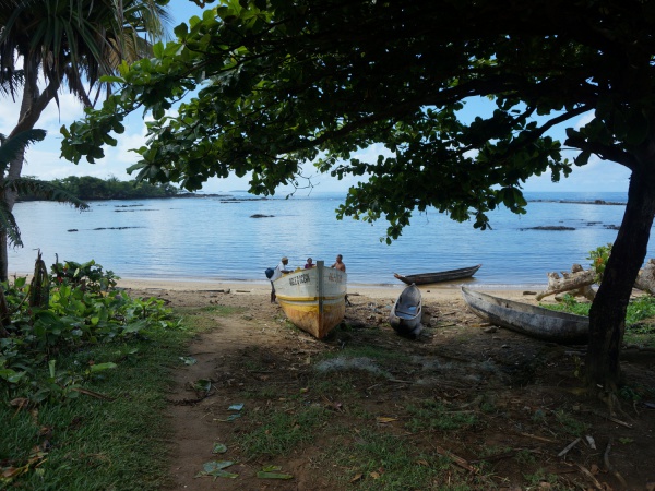
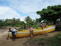
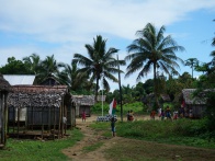
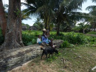
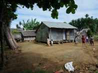
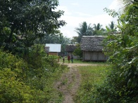
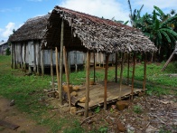
Photos
View all Namantoana photos
Additional information
- 7 days trek from Maroantsetra to Antalaha around the Masoala peninsula - The village of Namantoana lies on the path sneaking around the Masoala Peninsula.