Difference between revisions of "Antezampafana"
From MadaCamp
| (11 intermediate revisions by 2 users not shown) | |||
| Line 1: | Line 1: | ||
| − | + | {| class="imageTable" | |
| − | -15.94614, 50.152121 | + | |- |
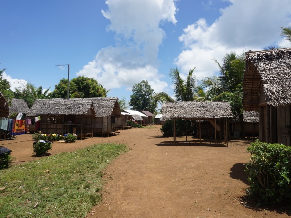
| − | + | |colspan="3" | [[File:Antezampafana 001.jpg|600px]] | |
| − | </ | + | |- |
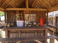
| + | |[[File:Antezampafana 002.jpg|196px]] | ||
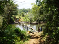
| + | |align="center"|[[File:Antezampafana 003.jpg|196px]] | ||
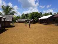
| + | |align="right"|[[File:Antezampafana 004.jpg|196px]] | ||
| + | |- | ||
| + | |[[File:Antezampafana 015.jpg|196px]] | ||
| + | |align="center"|[[File:Antezampafana 006.jpg|196px]] | ||
| + | |align="right"|[[File:Antezampafana 007.jpg|196px]] | ||
| + | |} | ||
| + | |||
| + | <div style="max-width:600px;"> | ||
| + | {{#display_map: | ||
| + | -15.94614, 50.152121~'''Antezampafana'''~~; | ||
| + | |type=satellite | ||
| + | |service=google | ||
| + | |width=auto | ||
| + | |height=400 | ||
| + | |zoom=16 | ||
| + | |controls=pan, zoom, type, scale | ||
| + | |copycoords=yes | ||
| + | |icon=https://www.madacamp.com/images/madagascar/Green_marker.png | ||
| + | }} | ||
| + | </div> | ||
| + | |||
| + | Next village direction southeast is [[Ambodikily]]. Next village direction northwest is [[Fampotabe]] | ||
'''GPS coordinates'''<br> | '''GPS coordinates'''<br> | ||
| Line 9: | Line 33: | ||
15m elevation | 15m elevation | ||
| + | == Photos == | ||
| + | |||
| + | View all [[Antezampafana photos]] | ||
| + | |||
| + | == Additional information == | ||
| − | + | * 7 days trek from [[Maroantsetra Antalaha trek around the Masoala peninsula|Maroantsetra to Antalaha around the Masoala peninsula]] - The village of Antezampafana lies on the path sneaking around the Masoala Peninsula. | |
| − | * | ||
| − | |||
Revision as of 14:58, 31 December 2020

| ||

|

|

|

|

|

|
Sorry, we have no imagery here.
Sorry, we have no imagery here.
Sorry, we have no imagery here.
Sorry, we have no imagery here.
Sorry, we have no imagery here.
Sorry, we have no imagery here.
Sorry, we have no imagery here.
Sorry, we have no imagery here.
Next village direction southeast is Ambodikily. Next village direction northwest is Fampotabe
GPS coordinates
S 15°56.757
E050°09.125'
15m elevation
Photos
View all Antezampafana photos
Additional information
- 7 days trek from Maroantsetra to Antalaha around the Masoala peninsula - The village of Antezampafana lies on the path sneaking around the Masoala Peninsula.

