Difference between revisions of "Faleovan"
From MadaCamp
CampMaster (talk | contribs) |
|||
| (2 intermediate revisions by one other user not shown) | |||
| Line 1: | Line 1: | ||
| − | '''Faleovan, also known as Faleovan-Tena, is a small village located on the southeastern part of the Masoala Peninsula. Acriculture include farming cloves and pinapples. A few kilometres north of the village there is a protected forest area and the | + | '''Faleovan, also known as Faleovan-Tena, is a small village located on the southeastern part of the Masoala Peninsula. Acriculture include farming cloves and pinapples. A few kilometres north of the village there is a protected forest area and the Ifaho Marine Reserve.''' |
{| class="imageTable" | {| class="imageTable" | ||
|- | |- | ||
| − | |colspan="3" | [[File:Faleovan | + | |colspan="3" | [[File:Faleovan 008.jpg|600px]] |
| − | |||
| − | |||
| − | |||
| − | |||
|- | |- | ||
| − | |[[File:Faleovan | + | |[[File:Faleovan 013.jpg|196px]] |
| − | |align="center"|[[File:Faleovan | + | |align="center"|[[File:Faleovan 014.jpg|196px]] |
| − | |align="right"|[[File:Faleovan | + | |align="right"|[[File:Faleovan 015.jpg|196px]] |
|- | |- | ||
| − | | | + | |[[File:Faleovan 017.jpg|196px]] |
| + | |align="center"|[[File:Faleovan 020.jpg|196px]] | ||
| + | |align="right"|[[File:Faleovan 021.jpg|196px]] | ||
|- | |- | ||
|} | |} | ||
| − | < | + | <HTML5video type="youtube" width="600" height="338">jT8z6iWZpHY</HTML5video> |
| − | |||
| − | |||
| − | </ | ||
| − | The next village south of | + | <div style="max-width:600px;"> |
| + | {{#display_map: | ||
| + | -15.800464, 50.286065~'''Faleovan'''~~; | ||
| + | |type=satellite | ||
| + | |service=google | ||
| + | |width=auto | ||
| + | |height=400 | ||
| + | |zoom=16 | ||
| + | |controls=pan, zoom, type, scale | ||
| + | |copycoords=yes | ||
| + | |icon=https://www.madacamp.com/images/madagascar/Green_marker.png | ||
| + | }} | ||
| + | </div> | ||
| + | |||
| + | The next village south of Faleovan is [[Anovandrano]] and the next village north is [[Anjanazana]]. | ||
'''GPS coordinates'''<br> | '''GPS coordinates'''<br> | ||
| Line 29: | Line 38: | ||
21m elevation | 21m elevation | ||
| − | + | == Photos == | |
| − | + | ||
| − | * [[ | + | View all [[Faleovan photos]] |
| + | |||
| + | == Additional information == | ||
| + | |||
| + | * 7 days trek from [[Maroantsetra Antalaha trek around the Masoala peninsula|Maroantsetra to Antalaha around the Masoala peninsula]] - Faleovan lies on the path sneaking around the Masoala Peninsula. | ||
Latest revision as of 06:35, 2 January 2021
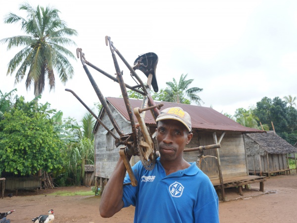
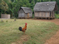
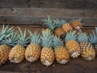
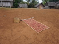
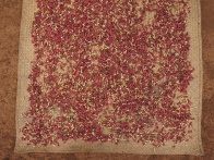
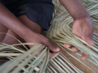
Faleovan, also known as Faleovan-Tena, is a small village located on the southeastern part of the Masoala Peninsula. Acriculture include farming cloves and pinapples. A few kilometres north of the village there is a protected forest area and the Ifaho Marine Reserve.
| ||
|
|
|
|

|
|
The next village south of Faleovan is Anovandrano and the next village north is Anjanazana.
GPS coordinates
S 15°48.065'
E050°17.142'
21m elevation
Photos
View all Faleovan photos
Additional information
- 7 days trek from Maroantsetra to Antalaha around the Masoala peninsula - Faleovan lies on the path sneaking around the Masoala Peninsula.
