Difference between revisions of "Marofinaritra - Masoala coast"
CampMaster (talk | contribs) |
|||
| (12 intermediate revisions by 2 users not shown) | |||
| Line 1: | Line 1: | ||
| − | '''The small | + | '''The small village of Marofinaritra is located on the east coast of the Masoala Peninsula, about 500 metres inland from the sea. This Marofinaritra is not to be mistaken with the village of [[Marofinaritra]] located near [[Antalaha]].''' |
{| class="imageTable" | {| class="imageTable" | ||
|- | |- | ||
| − | |colspan="3" | [[File:Marofinaritra Masoala | + | |colspan="3" | [[File:Marofinaritra Masoala 035.jpg|600px]] |
|- | |- | ||
|[[File:Marofinaritra Masoala 002.jpg|196px]] | |[[File:Marofinaritra Masoala 002.jpg|196px]] | ||
|align="center"|[[File:Marofinaritra Masoala 003.jpg|196px]] | |align="center"|[[File:Marofinaritra Masoala 003.jpg|196px]] | ||
| + | |align="right"|[[File:Marofinaritra Masoala 012.jpg|196px]] | ||
| + | |- | ||
| + | |[[File:Marofinaritra Masoala 006.jpg|196px]] | ||
| + | |align="center"|[[File:Marofinaritra Masoala 011.jpg|196px]] | ||
|align="right"|[[File:Marofinaritra Masoala 004.jpg|196px]] | |align="right"|[[File:Marofinaritra Masoala 004.jpg|196px]] | ||
| − | |||
| − | |||
| − | |||
| − | |||
|} | |} | ||
| − | + | The village name Marofinaritra can be translated with "lots of healthy" or "lots of happy". ''Maro'' in Malagasy means "many, lots" and ''finaritra'' means "well, happy, healthy". | |
| − | < | + | [[File:Marofinaritra Masoala 032.jpg|600px]] |
| − | + | ||
| − | + | In the centre of the village there is a public primary school. Most of the villagers live from farming, some from fishing. | |
| − | </ | + | |
| + | [[File:Marofinaritra Masoala 043.jpg|600px]] | ||
| + | |||
| + | <div style="max-width:600px;"> | ||
| + | {{#display_map: | ||
| + | -15.701401, 50.353527~'''Marofinaritra'''~~; | ||
| + | |type=satellite | ||
| + | |service=google | ||
| + | |width=auto | ||
| + | |height=400 | ||
| + | |zoom=15 | ||
| + | |controls=pan, zoom, type, scale | ||
| + | |copycoords=yes | ||
| + | |icon=https://www.madacamp.com/images/madagascar/Green_marker.png | ||
| + | }} | ||
| + | </div> | ||
| + | |||
| + | [[File:Marofinaritra Masoala 042.jpg|600px]] | ||
| + | |||
| + | The next village south of Marofinaritra is [[Ambodipont]]. However, there are a few houses before Ambodipont at [[S 15°42.890' E 50°20.900']] which may or may not be an official village. The next village direction north of Marofinaritra is [[Ampanavoana]]. | ||
'''GPS coordinates'''<br> | '''GPS coordinates'''<br> | ||
| Line 26: | Line 45: | ||
17m elevation | 17m elevation | ||
| + | == Photos == | ||
| + | |||
| + | View all [[Marofinaritra - Masoala coast photos|Marofinaritra photos]] | ||
| + | |||
| + | == Additional information == | ||
| − | + | * 7 days trek from [[Maroantsetra Antalaha trek around the Masoala peninsula|Maroantsetra to Antalaha around the Masoala peninsula]] - The small village of Marofinaritra lies on the path sneaking around the Masoala Peninsula. | |
| − | * | ||
| − | |||
Revision as of 06:49, 2 January 2021
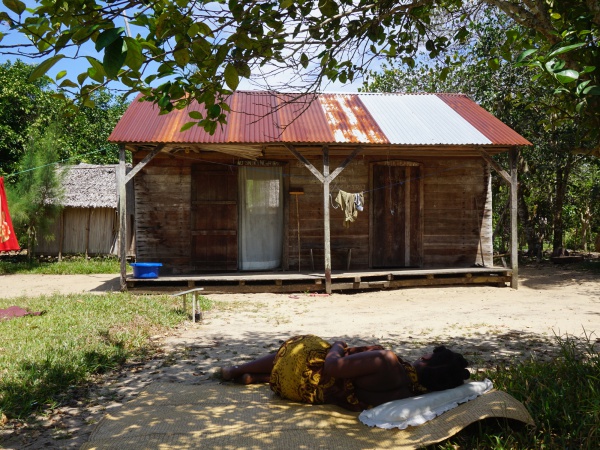
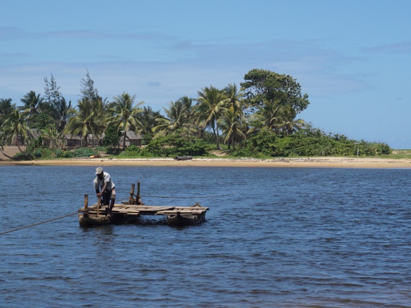
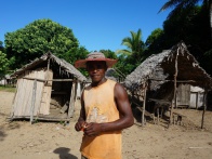
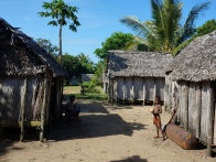
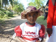
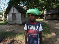
The small village of Marofinaritra is located on the east coast of the Masoala Peninsula, about 500 metres inland from the sea. This Marofinaritra is not to be mistaken with the village of Marofinaritra located near Antalaha.
| ||
|
|
|
|
|
|
The village name Marofinaritra can be translated with "lots of healthy" or "lots of happy". Maro in Malagasy means "many, lots" and finaritra means "well, happy, healthy".
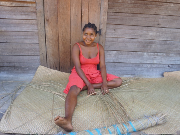
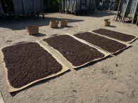
In the centre of the village there is a public primary school. Most of the villagers live from farming, some from fishing.
The next village south of Marofinaritra is Ambodipont. However, there are a few houses before Ambodipont at S 15°42.890' E 50°20.900' which may or may not be an official village. The next village direction north of Marofinaritra is Ampanavoana.
GPS coordinates
S 15°42.112'
E050°21.173'
17m elevation
Photos
View all Marofinaritra photos
Additional information
- 7 days trek from Maroantsetra to Antalaha around the Masoala peninsula - The small village of Marofinaritra lies on the path sneaking around the Masoala Peninsula.
