Difference between revisions of "Ratsianarana"
CampMaster (talk | contribs) |
|||
| (6 intermediate revisions by 2 users not shown) | |||
| Line 1: | Line 1: | ||
| − | + | '''The small village Ratsianarana is located in a bay on the Masoala peninsula on the east coast of Madagascar. The village has a shop and a hotel.''' | |
| − | -15.463860, 50.454144 | + | |
| − | + | {| class="imageTable" | |
| − | </ | + | |- |
| + | |colspan="3" | [[File:Ratsianarana_006.jpg|600px]] | ||
| + | |- | ||
| + | |[[File:Ratsianarana_009.jpg|196px]] | ||
| + | |align="center"|[[File:Ratsianarana_010.jpg|196px]] | ||
| + | |align="right"|[[File:Ratsianarana_012.jpg|196px]] | ||
| + | |- | ||
| + | |colspan="3" | [[File:Ratsianarana_023.jpg|600px]] | ||
| + | |- | ||
| + | |[[File:Ratsianarana_016.jpg|196px]] | ||
| + | |align="center"|[[File:Ratsianarana_024.jpg|196px]] | ||
| + | |align="right"|[[File:Ratsianarana_040.jpg|196px]] | ||
| + | |- | ||
| + | |colspan="3" | [[File:Ratsianarana_046.jpg|600px]] | ||
| + | |} | ||
| + | |||
| + | <div style="max-width:600px;"> | ||
| + | {{#display_map: | ||
| + | -15.463860, 50.454144~'''Ratsianarana'''~~; | ||
| + | |type=satellite | ||
| + | |service=google | ||
| + | |width=auto | ||
| + | |height=400 | ||
| + | |zoom=14 | ||
| + | |controls=pan, zoom, type, scale | ||
| + | |copycoords=yes | ||
| + | |icon=https://www.madacamp.com/images/madagascar/Green_marker.png | ||
| + | }} | ||
| + | </div> | ||
'''GPS coordinates'''<br> | '''GPS coordinates'''<br> | ||
| Line 8: | Line 36: | ||
E050°27.248' | E050°27.248' | ||
| − | The next village south of | + | The next village south of Ratsianarana is [[Antsahambavy]] and the next village north is [[Ankiana]]. |
| + | |||
| + | However, there is also a village about 4km inland of Ratsianarana which will be by-passed when taking the road closer to the coastline and which is a bit less distance when coming from the south. To take this shorter route, turn right at [[S15°28.454' E050°25.923']]. Additionally, shortly before this turning point, there is another small village appearing on Google's satellite map at [[S15°28.924' E050°25.736']] (-15.480270, 50.429242). What is the name of this village? Anyone, please post the name of the village here. | ||
| + | |||
| + | == Photos == | ||
| − | + | View all [[Ratsianarana village photos]] | |
| − | + | == Additional information == | |
| − | |||
| − | |||
| − | + | * 7 days trek from [[Maroantsetra Antalaha trek around the Masoala peninsula|Maroantsetra to Antalaha around the Masoala peninsula]] - Ratsianarana lies on the path sneaking around the Masoala Peninsula. | |
| − | |||
Latest revision as of 10:23, 3 January 2021
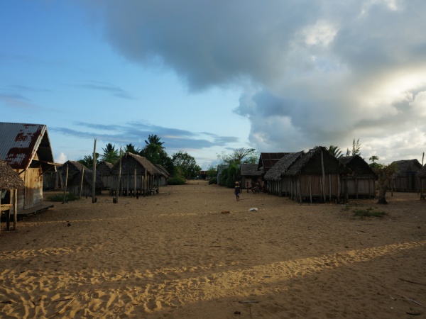
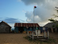
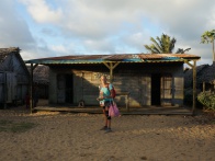
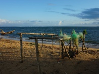
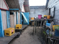
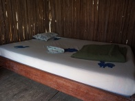
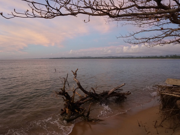
The small village Ratsianarana is located in a bay on the Masoala peninsula on the east coast of Madagascar. The village has a shop and a hotel.
| ||
|
|
|

| ||
|

|
|
| ||
GPS coordinates
S 15°27.849'
E050°27.248'
The next village south of Ratsianarana is Antsahambavy and the next village north is Ankiana.
However, there is also a village about 4km inland of Ratsianarana which will be by-passed when taking the road closer to the coastline and which is a bit less distance when coming from the south. To take this shorter route, turn right at S15°28.454' E050°25.923'. Additionally, shortly before this turning point, there is another small village appearing on Google's satellite map at S15°28.924' E050°25.736' (-15.480270, 50.429242). What is the name of this village? Anyone, please post the name of the village here.
Photos
View all Ratsianarana village photos
Additional information
- 7 days trek from Maroantsetra to Antalaha around the Masoala peninsula - Ratsianarana lies on the path sneaking around the Masoala Peninsula.