Difference between revisions of "Playa de la Batterie"
From MadaCamp
| (One intermediate revision by one other user not shown) | |||
| Line 20: | Line 20: | ||
Water ways and small various canals that wash the tidal water back and forth across the grounds produce natural sea salt. | Water ways and small various canals that wash the tidal water back and forth across the grounds produce natural sea salt. | ||
| − | < | + | <div style="max-width:600px;"> |
| − | + | {{#display_map: | |
| − | + | -23.356041, 43.637298~'''Playa de la Batterie''' - light tower~~; | |
| − | </ | + | |type=satellite |
| + | |service=google | ||
| + | |width=auto | ||
| + | |height=400 | ||
| + | |zoom=14 | ||
| + | |controls=pan, zoom, type, scale | ||
| + | |copycoords=yes | ||
| + | |icon=https://www.madacamp.com/images/madagascar/Green_marker.png | ||
| + | }} | ||
| + | </div> | ||
| + | |||
| + | == Additional information == | ||
| + | |||
| + | View all [[Playa de la Batterie photos]] | ||
Latest revision as of 08:04, 5 January 2021
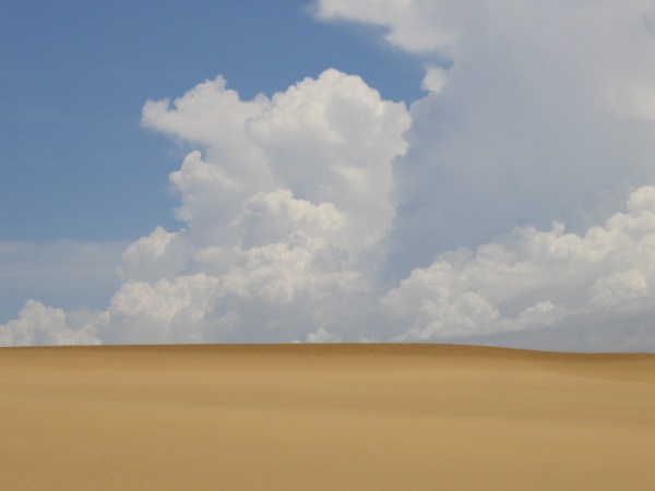
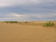
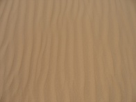
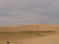
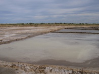
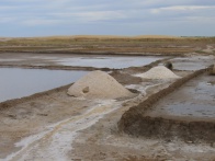
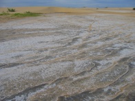
Playa de la Batterie is a beach stretch just north of Tulear with some large sand dunes. The area can be reached by an approximately 4-kilometre walk from the town centre and across some salt production fields in the direction of a light tower.
| ||
|
|
|
|
|
|
|
|
|
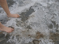
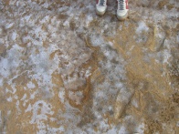
Water ways and small various canals that wash the tidal water back and forth across the grounds produce natural sea salt.
Loading map...
Additional information
View all Playa de la Batterie photos