Difference between revisions of "Nandrahanana"
From MadaCamp
| Line 15: | Line 15: | ||
<div style="max-width:600px;"> | <div style="max-width:600px;"> | ||
{{#display_map: | {{#display_map: | ||
| − | + | [[File:Nandrahanana 035.jpg|left|150px|]]<br> | |
|type=satellite | |type=satellite | ||
|service=google | |service=google | ||
Revision as of 08:14, 15 January 2021
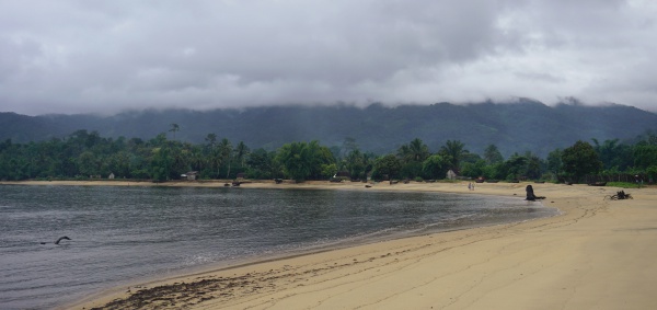
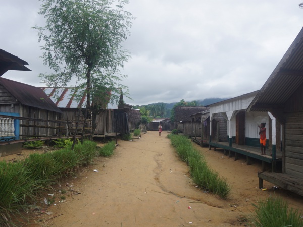
Nandrahanana is a coastal village along the national trail leading around the Masoala peninsula.
| ||

|

|

|

|
|
|
The village south of Nandrahanana is Rantabe. The next village north following the fishing hamlets of Ananovato and Ambolosy (15°27'39.9"S 49°53'46.6"E) is Iaraka.
Additional information
View all Nandrahanana photos
