Difference between revisions of "Ambanizana"
From MadaCamp
| Line 19: | Line 19: | ||
<div style="max-width:600px;"> | <div style="max-width:600px;"> | ||
{{#display_map: | {{#display_map: | ||
| − | -15.624425, 49.965073~'''Ambanizana'''~~; | + | -15.624425, 49.965073~[[File:Ambanizana 008.jpg|left|150px|]]<br>'''Ambanizana'''~~; |
|type=satellite | |type=satellite | ||
|service=google | |service=google | ||
Revision as of 08:21, 15 January 2021
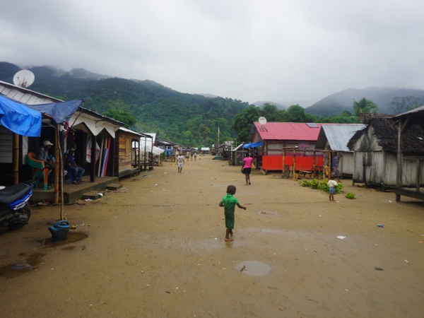
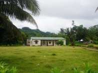
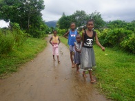
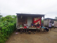
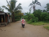
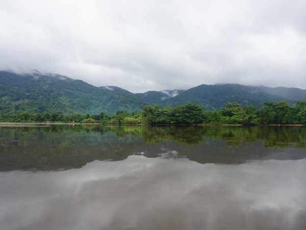
Ambanizana, or Ambanizana Grande, is a village in the Ambanizana Commune in the Maroantsetra district. The village lies along the national footpath leading around the Masoala peninsula and is the last village before entering the nature protected national park area where parts of the forest meets the ocean.
| ||
|
|
|
|
|
|
| ||
Loading map...
The next village south of Ambanizana is Ambodiforaha and the next village north is Rantabe. A national park office between Ambanizana and Ambodiforaha is located at the geo-cordinates S 15°40.890' E049°57.443'.
View all Ambanizana photos