Difference between revisions of "Mahalevona"
From MadaCamp
| (One intermediate revision by the same user not shown) | |||
| Line 36: | Line 36: | ||
<div style="max-width:600px;"> | <div style="max-width:600px;"> | ||
{{#display_map: | {{#display_map: | ||
| − | -15.4139, 49.9153~'''Mahalevona'''~~; | + | -15.4139, 49.9153~[[File:Mahalevona 013.jpg|150px|left|]]<br>'''Mahalevona'''~~; |
|type=satellite | |type=satellite | ||
|service=google | |service=google | ||
|width=auto | |width=auto | ||
|height=400 | |height=400 | ||
| − | |zoom= | + | |zoom=15 |
|controls=pan, zoom, type, scale | |controls=pan, zoom, type, scale | ||
|copycoords=yes | |copycoords=yes | ||
Latest revision as of 07:01, 16 January 2021
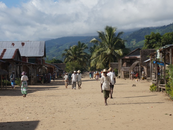
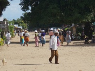
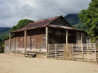
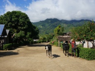
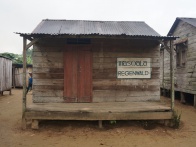
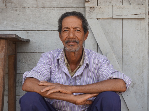
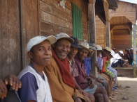
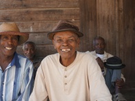
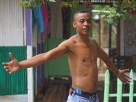
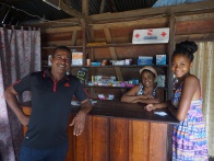
Mahalevona is a long-stretched village, located along a river on the Masoala Peninsula. The village has several shops, schools and hotel accommodation.
| ||
|
|
|

|
|
|
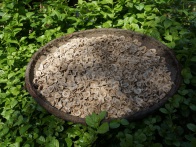
There is no electricity or running water in the village. However, it is only a short walk to the river which provides crystal clear water for bathing and swimming. Throughout the day, most of the villagers work on the rice fields surrounding the village.
| ||
|
|
|

|
|
|
Accommodation
Hotel Malala
7 bungalows and restaurant
5.000 Ariary per bungalow (price 2014)
Loading map...
GPS Coordinates
S 15°24'834'
E049°54'918'
34m elevation
Photos
View all Mahalevona photos
Additional information
- 5 days trek from Maroantsetra to Antalaha