Difference between revisions of "Andapa road construction monument"
From MadaCamp
CampMaster (talk | contribs) (Created page with "'''Hilltop monument along the RN3b close to Andapa.''' <div style="max-width:600px;"> {{#display_map: S14°37.968',E049°42.504'~'''Monument'''~~; |centre=S14°37.968',E0...") |
CampMaster (talk | contribs) |
||
| (19 intermediate revisions by 2 users not shown) | |||
| Line 1: | Line 1: | ||
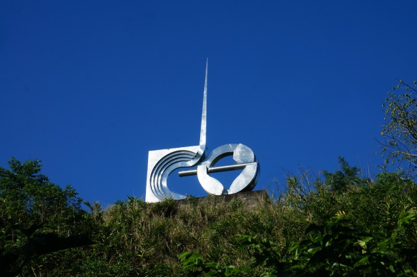
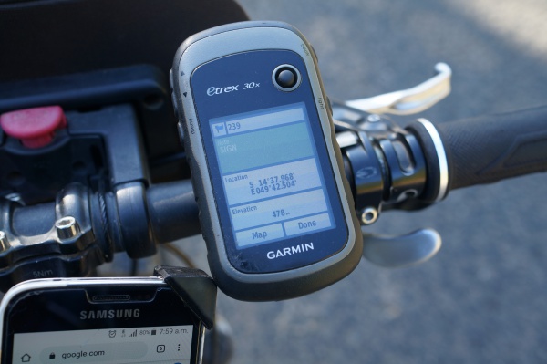
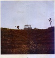
| − | ''' | + | '''When travelling to Andapa, up and above the road to the left at S 14°37.968' E049°42.404' and at an altitude of 500 metres, a monument built by the Italian contractor that were constructing the road between Andapa and Sambava in mid-1960 can be seen.''' |
| + | |||
| + | [[File:Sambava_to_Andapa_by_bike_047.jpg|600px]] | ||
| + | |||
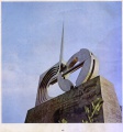
| + | The road took six years to complete including the construction of heavy bridges crossing rivers and valleys. The circular arm-shaped part of the monument signifies the strength of the porters carrying heavy equipment and materials and the upwards pointing needle represents the way ahead. | ||
| + | |||
| + | {| class="imageTable" | ||
| + | |- | ||
| + | |colspan="3" | [[File:Andapa_road_construction_monument_001.jpg|600px]] | ||
| + | |- | ||
| + | |[[File:Andapa_road_construction_monument_002.jpg|196px]] | ||
| + | |align="center"|[[File:Andapa_road_construction_monument_003.jpg|196px]] | ||
| + | |align="right"|[[File:Andapa_road_construction_monument_004.jpg|196px]] | ||
| + | |- | ||
| + | |} | ||
| + | |||
| + | The location served as a coffee stop for construction workers after having reached the road's peak coming from Andapa. | ||
| + | |||
| + | [[File:Sambava_to_Andapa_by_bike_044.jpg|600px]] | ||
| + | |||
| + | The monument is located Between [[Masiaposa]] and [[Andrakata]]. | ||
<div style="max-width:600px;"> | <div style="max-width:600px;"> | ||
{{#display_map: | {{#display_map: | ||
| − | + | -14.633217049969469,49.7082578429222~'''Andapa road construction monument'''~~; | |
| − | |centre= | + | |centre=-14.633217049969469,49.7082578429222 |
|type=satellite | |type=satellite | ||
|service=google | |service=google | ||
| Line 14: | Line 34: | ||
}} | }} | ||
</div> | </div> | ||
| + | |||
| + | == Print brouchure scans == | ||
| + | |||
| + | <gallery> | ||
| + | File:Andapa_road_construction_3.jpg | ||
| + | File:Andapa_road_construction_4.jpg | ||
| + | File:Andapa_road_construction_5.jpg | ||
| + | File:Andapa_road_construction_6-7.jpg | ||
| + | File:Andapa_road_construction_8.jpg | ||
| + | File:Andapa_road_construction_8a.jpg | ||
| + | File:Andapa_road_construction_8b.jpg | ||
| + | File:Andapa_road_construction_9.jpg | ||
| + | File:Andapa_road_construction_10.jpg | ||
| + | File:Andapa_road_construction_11.jpg | ||
| + | File:Andapa_road_construction_12.jpg | ||
| + | File:Andapa_road_construction_13.jpg | ||
| + | File:Andapa_road_construction_14.jpg | ||
| + | File:Andapa_road_construction_15.jpg | ||
| + | File:Andapa_road_construction_16.jpg | ||
| + | File:Andapa_road_construction_17.jpg | ||
| + | File:Andapa_road_construction_18.jpg | ||
| + | File:Andapa_road_construction_19.jpg | ||
| + | File:Andapa_road_construction_20.jpg | ||
| + | File:Andapa_road_construction_21.jpg | ||
| + | File:Andapa_road_construction_22.jpg | ||
| + | File:Andapa_road_construction_23.jpg | ||
| + | File:Andapa_road_construction_24.jpg | ||
| + | File:Andapa_road_construction_25.jpg | ||
| + | File:Andapa_road_construction_26.jpg | ||
| + | File:Andapa_road_construction_27.jpg | ||
| + | File:Andapa_road_construction_28.jpg | ||
| + | File:Andapa_road_construction_29.jpg | ||
| + | File:Andapa_road_construction_31.jpg | ||
| + | File:Andapa_road_construction_32.jpg | ||
| + | File:Andapa_road_construction_33.jpg | ||
| + | File:Andapa_road_construction_fr.pdf | ||
| + | |||
| + | </gallery> | ||
| + | |||
| + | == Further information == | ||
| + | |||
| + | * [[Andapa]] | ||
| + | * [[Sambava to Andapa by bike]] | ||
| + | |||
| + | |||
| + | <!--* [[Media:Andapa_road_construction_monument.zip|Andapa_road_construction_monument.zip]]--> | ||
Latest revision as of 14:20, 13 September 2022
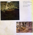
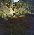
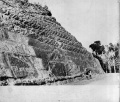
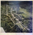
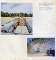
When travelling to Andapa, up and above the road to the left at S 14°37.968' E049°42.404' and at an altitude of 500 metres, a monument built by the Italian contractor that were constructing the road between Andapa and Sambava in mid-1960 can be seen.
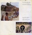
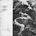
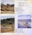
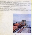
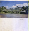
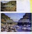
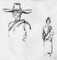
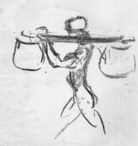
The road took six years to complete including the construction of heavy bridges crossing rivers and valleys. The circular arm-shaped part of the monument signifies the strength of the porters carrying heavy equipment and materials and the upwards pointing needle represents the way ahead.

| ||
|
|
|
The location served as a coffee stop for construction workers after having reached the road's peak coming from Andapa.
The monument is located Between Masiaposa and Andrakata.
Loading map...
Print brouchure scans
Further information
