Difference between revisions of "Ivovono"
From MadaCamp
| Line 14: | Line 14: | ||
|} | |} | ||
| − | Ivovono is located within walking distance (2 hours) from the main road between [[Diego Suarez]] and [[Ramena]]. From [[Sakalava Bay]] it is an 1,5 hour's walk along a sandy road, passing houses and massive mango trees here and there. The silhouette of the impressive Montagne des | + | Ivovono is located within walking distance (2 hours) from the main road between [[Diego Suarez]] and [[Ramena]]. From [[Sakalava Bay]] it is an 1,5 hour's walk along a sandy road, passing houses and massive mango trees here and there. The silhouette of the impressive [[Montagne des Français]] (French Mountain) can be seen along the way. |
{| class="imageTable" | {| class="imageTable" | ||
| Line 28: | Line 28: | ||
-12.319291, 49.392332 | -12.319291, 49.392332 | ||
Ivovono | Ivovono | ||
| − | </googlemap | + | </googlemap> |
{| class="imageTable" | {| class="imageTable" | ||
Revision as of 07:24, 16 November 2011
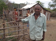
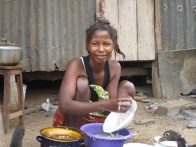
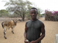
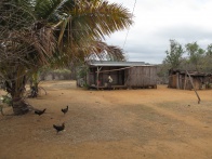
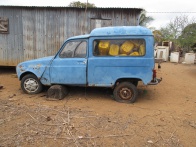
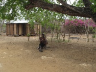
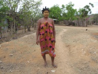
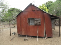
Ivovono is a small Antankarana village in the north of Madagascar. There are about 700 people living in the village. Its inhabitants are fishermen or cattle raisers.
| ||
|
|
|
|
|
|
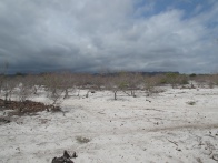
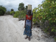
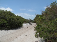
Ivovono is located within walking distance (2 hours) from the main road between Diego Suarez and Ramena. From Sakalava Bay it is an 1,5 hour's walk along a sandy road, passing houses and massive mango trees here and there. The silhouette of the impressive Montagne des Français (French Mountain) can be seen along the way.
|
|

|
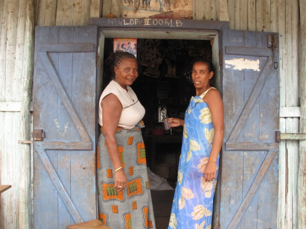
The village has a quite well stocked food shop with an adjoining Malagasy bar and restaurant.
|
|
|