Difference between revisions of "Town Hall of Diego Suarez"
From MadaCamp
CampMaster (talk | contribs) m (Text replacement - "|resizable=yes " to "") |
CampMaster (talk | contribs) m (Text replacement - "service=google" to "service=leaflet") |
||
| (2 intermediate revisions by 2 users not shown) | |||
| Line 19: | Line 19: | ||
-12.278429, 49.290987~'''Town Hall'''~~; | -12.278429, 49.290987~'''Town Hall'''~~; | ||
|type=satellite | |type=satellite | ||
| − | |service= | + | |service=leaflet |
|width=auto | |width=auto | ||
|height=400 | |height=400 | ||
|zoom=17 | |zoom=17 | ||
|controls=pan, zoom, type, scale | |controls=pan, zoom, type, scale | ||
| − | |||
|copycoords=yes | |copycoords=yes | ||
}} | }} | ||
</div> | </div> | ||
| − | |||
| − | |||
| − | |||
| − | |||
[[mg:Lapan'ny Tanana]] | [[mg:Lapan'ny Tanana]] | ||
Latest revision as of 20:02, 1 May 2025
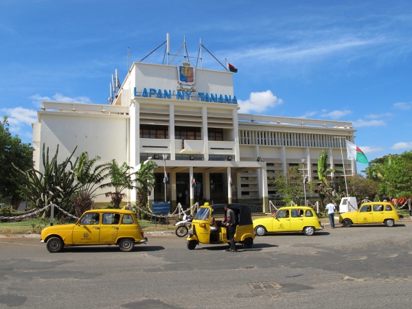
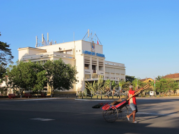
The Town Hall of Diego Suarez is located just next to Foch Square in the city centre.

|
A sign in front of the Town Hall reads: The commune of Diego Suarez, formerly located in the residence and headed by an administrator mayor, was created by decree on 13 February 1897. The current town hall was built in 1960.

|
Loading map...


Leaflet | © OpenStreetMap contributors
