Difference between revisions of "Ratranavona"
| (3 intermediate revisions by 2 users not shown) | |||
| Line 34: | Line 34: | ||
A bit confusing can be the name of the village. In Malagasy '''''ratra''''' means ''a wound'' or ''injury'' and '''''navona''''' can be translated into ''the core of boils''. Together Ratranavona translates into ''a wound/injury from boils''. However, there were no signs of any skin irritations throughout a visit to this village in 2015 :-) | A bit confusing can be the name of the village. In Malagasy '''''ratra''''' means ''a wound'' or ''injury'' and '''''navona''''' can be translated into ''the core of boils''. Together Ratranavona translates into ''a wound/injury from boils''. However, there were no signs of any skin irritations throughout a visit to this village in 2015 :-) | ||
| − | < | + | <div style="max-width:600px;"> |
| − | + | {{#display_map: | |
| − | [[ | + | -15.903699, 50.065683~'''Ratranavona'''~~; |
| − | + | |type=satellite | |
| + | |service=google | ||
| + | |width=auto | ||
| + | |height=400 | ||
| + | |zoom=15 | ||
| + | |controls=pan, zoom, type, scale | ||
| + | |copycoords=yes | ||
| + | |icon=https://www.madacamp.com/images/madagascar/Green_marker.png | ||
| + | }} | ||
| + | </div> | ||
| + | |||
| + | The next village direction south is [[Namantoana]]. The next village direction north through the rain forest is [[Antalavia]]. | ||
'''GPS Coordinates'''<br> | '''GPS Coordinates'''<br> | ||
S 15°54.160'<br> | S 15°54.160'<br> | ||
E050°03.912'<br> | E050°03.912'<br> | ||
| − | 22m elevation | + | 22m elevation |
| + | |||
| + | == Photos == | ||
| + | |||
| + | View all [[Ratranavona photos]] | ||
| + | |||
| + | == Additional information == | ||
| − | + | * 7 days trek from [[Maroantsetra Antalaha trek around the Masoala peninsula|Maroantsetra to Antalaha around the Masoala peninsula]] - The village of Ratranavona lays on the path sneaking around the Masoala Peninsula. | |
| − | * | ||
| − | |||
Latest revision as of 14:44, 31 December 2020
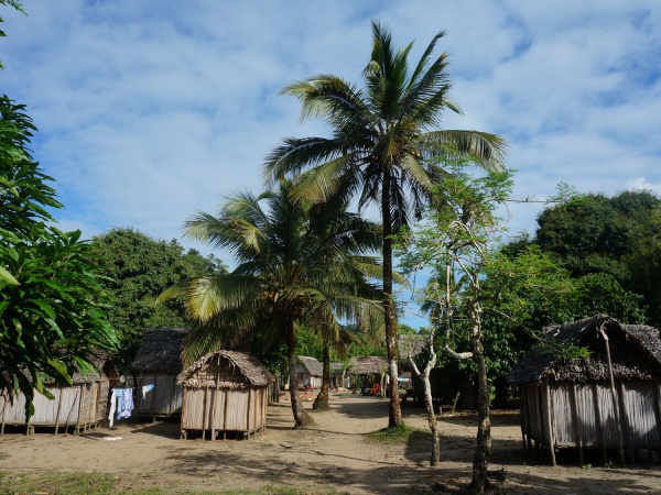
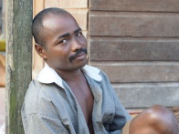
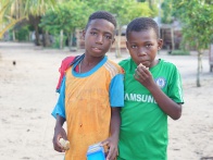
Ratranavona is an isolated village located in a small bay on a sandy beach in the southern part of the Masoala Peninsula. About two kilometres from the village starts the Masoala National Park.
| ||
|

|
|
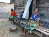
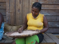
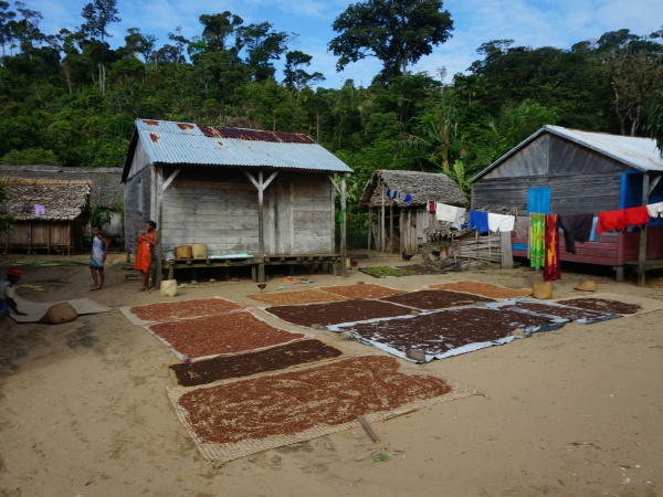
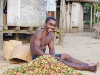
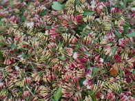
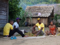
Most of the villagers live from fishing, rice farming and harvesting cloves. During the months of September, October and November the cloves are picked and thereafter dried in the sun in front of the houses. During the drying period the whole village scents like a giant Xmas bakery.
| ||
|
|
|
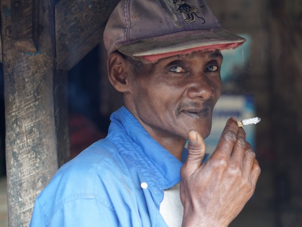
There is a shop with bar/restaurant and an attached cinema at the end of the village where films are shown on Saturdays at 9pm. The entrance fee is 300 Ariary (2015). Behind the bar is a separate building which has two rooms for rent. The rooms are very simple with only a mattress on the floor and a not recommended outside shower and toilet. In 2015, the price for the room was 5,000 Ariary a night.
| ||
|
|

|
A bit confusing can be the name of the village. In Malagasy ratra means a wound or injury and navona can be translated into the core of boils. Together Ratranavona translates into a wound/injury from boils. However, there were no signs of any skin irritations throughout a visit to this village in 2015 :-)
The next village direction south is Namantoana. The next village direction north through the rain forest is Antalavia.
GPS Coordinates
S 15°54.160'
E050°03.912'
22m elevation
Photos
View all Ratranavona photos
Additional information
- 7 days trek from Maroantsetra to Antalaha around the Masoala peninsula - The village of Ratranavona lays on the path sneaking around the Masoala Peninsula.