Difference between revisions of "Anjanazana"
CampMaster (talk | contribs) |
|||
| (6 intermediate revisions by one other user not shown) | |||
| Line 1: | Line 1: | ||
| − | '''Anjanazana is a common name for villages in Madagascar, especially on the east coast. The Anjanazana desribed on this page is located inland on the southeastern part of the Masoala Peninsula.''' | + | '''Anjanazana is a common name for villages in Madagascar, especially on the east coast. The Anjanazana desribed on this page is located inland on the southeastern part of the Masoala Peninsula. Villagers sustain a living from fishing and various acricultures, such as cloves and pinapples.''' |
{| class="imageTable" | {| class="imageTable" | ||
| Line 17: | Line 17: | ||
|} | |} | ||
| − | Anjanazana stretches along a wide sandy road lined with well-built houses, various shops and small food stalls. The village has a primary public school, established | + | Anjanazana stretches along a wide sandy road lined with well-built houses, various shops and small food stalls. The village has a primary public school, established in 1970, and a college of general education. Nearby there is also a hospital (''Hopitaly Ambodisatrana''). The village borders a protected forest area which extends to ''Ifaho Marine Reserve''. |
| − | + | {| class="imageTable" | |
| − | - | + | |- |
| − | + | |colspan="3" | [[File:Anjanazana 051.jpg|600px]] | |
| − | + | |- | |
| + | |[[File:Anjanazana 055.jpg|196px]] | ||
| + | |align="center"|[[File:Anjanazana 007.jpg|196px]] | ||
| + | |align="right"|[[File:Anjanazana 046.jpg|196px]] | ||
| + | |- | ||
| + | |} | ||
| − | The next village south of | + | <div style="max-width:600px;"> |
| + | {{#display_map: | ||
| + | -15.759019, 50.304075~'''Anjanazana'''~~; | ||
| + | |type=satellite | ||
| + | |service=google | ||
| + | |width=auto | ||
| + | |height=400 | ||
| + | |zoom=15 | ||
| + | |controls=pan, zoom, type, scale | ||
| + | |copycoords=yes | ||
| + | |icon=https://www.madacamp.com/images/madagascar/Green_marker.png | ||
| + | }} | ||
| + | </div> | ||
| + | |||
| + | The next village south of Anjanazana is [[Faleovan]] and the next village direction north is [[Ambodipont]]. | ||
'''GPS coordinates'''<br> | '''GPS coordinates'''<br> | ||
| Line 31: | Line 50: | ||
17m elevation | 17m elevation | ||
| − | + | == Photos == | |
| − | + | ||
| − | * [[ | + | View all [[Anjanazana photos]] |
| + | |||
| + | == Additional information == | ||
| + | |||
| + | * 7 days trek from [[Maroantsetra Antalaha trek around the Masoala peninsula|Maroantsetra to Antalaha around the Masoala peninsula]] - Anjanazana lies on the path sneaking around the Masoala Peninsula. | ||
Latest revision as of 06:39, 2 January 2021
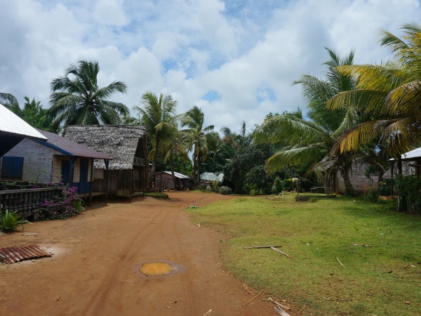
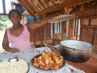
Anjanazana is a common name for villages in Madagascar, especially on the east coast. The Anjanazana desribed on this page is located inland on the southeastern part of the Masoala Peninsula. Villagers sustain a living from fishing and various acricultures, such as cloves and pinapples.
| ||
|

|
|

|
|

|
| ||
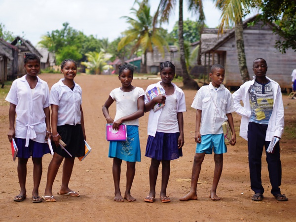
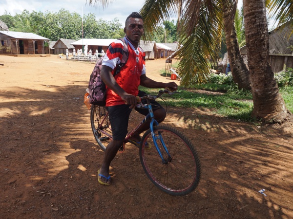
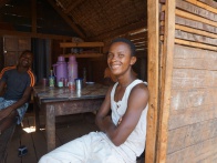
Anjanazana stretches along a wide sandy road lined with well-built houses, various shops and small food stalls. The village has a primary public school, established in 1970, and a college of general education. Nearby there is also a hospital (Hopitaly Ambodisatrana). The village borders a protected forest area which extends to Ifaho Marine Reserve.
| ||
|
|
|
The next village south of Anjanazana is Faleovan and the next village direction north is Ambodipont.
GPS coordinates
S 15°45.481'
E050°18.220'
17m elevation
Photos
View all Anjanazana photos
Additional information
- 7 days trek from Maroantsetra to Antalaha around the Masoala peninsula - Anjanazana lies on the path sneaking around the Masoala Peninsula.