Difference between revisions of "S15°28.924' E050°25.736'"
From MadaCamp
CampMaster (talk | contribs) |
|||
| Line 1: | Line 1: | ||
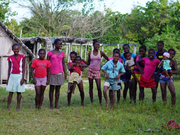
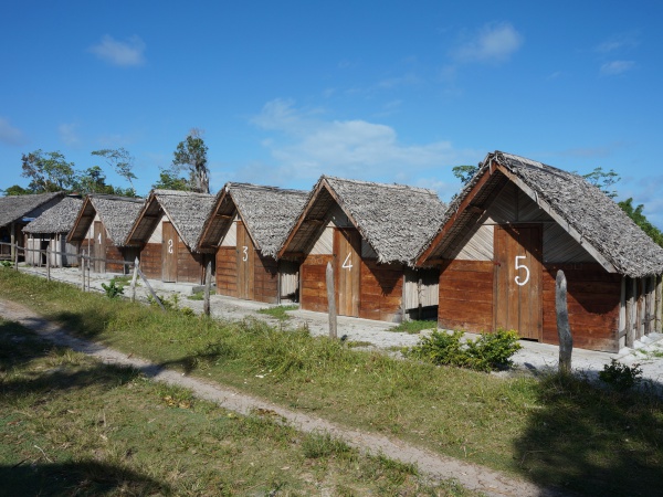
| − | + | '''Unnamed village at S15°28.924' E050°25.736' with nice bungalows just on the road.''' | |
| − | + | ||
| − | Unnamed village at | + | [[File:20151020 150618 DSC09463.jpg|600px]] |
| − | + | ||
| + | [[File:20151020_144957_DSC02194.jpg|600px]] | ||
Next village south is [[Antsahambavy]] and next village north is either the unnamed village at [[S15°27.678' E050°25.589']] a few kilometres inland or [[Ratsianarana]] directly on the coast. | Next village south is [[Antsahambavy]] and next village north is either the unnamed village at [[S15°27.678' E050°25.589']] a few kilometres inland or [[Ratsianarana]] directly on the coast. | ||
| − | < | + | <div style="max-width:600px;"> |
| − | + | {{#display_map: | |
| − | + | -15.481788, 50.428933~'''S15°28.924' E050°25.736''''~~; | |
| − | + | |type=satellite | |
| − | + | |service=google | |
| − | + | |width=auto | |
| − | + | |height=400 | |
| − | + | |zoom=14 | |
| − | + | |controls=pan, zoom, type, scale | |
| − | + | |copycoords=yes | |
| − | + | |icon=https://www.madacamp.com/images/madagascar/Green_marker.png | |
| − | + | }} | |
| − | + | </div> | |
| − | + | ||
| − | + | '''GPS coordinates'''<br> | |
| − | + | S 15°28.924'<br> | |
| − | + | E050°25.736'<br> | |
| − | + | 19m elevation | |
| − | + | ||
| − | + | == Photos == | |
| − | + | ||
| − | + | View all [[S15°28.924' E050°25.736' photos]] | |
| − | + | ||
| + | == Additional information == | ||
| + | |||
| + | * 7 days trek from [[Maroantsetra Antalaha trek around the Masoala peninsula|Maroantsetra to Antalaha around the Masoala peninsula]] | ||
Latest revision as of 09:58, 3 January 2021
Unnamed village at S15°28.924' E050°25.736' with nice bungalows just on the road.
Next village south is Antsahambavy and next village north is either the unnamed village at S15°27.678' E050°25.589' a few kilometres inland or Ratsianarana directly on the coast.
Loading map...
GPS coordinates
S 15°28.924'
E050°25.736'
19m elevation
Photos
View all S15°28.924' E050°25.736' photos
Additional information
- 7 days trek from Maroantsetra to Antalaha around the Masoala peninsula

