Difference between revisions of "Breakfast under mango tree"
From MadaCamp
| (One intermediate revision by the same user not shown) | |||
| Line 14: | Line 14: | ||
[[File:Breakfast under mango tree 001.jpg|600px]] | [[File:Breakfast under mango tree 001.jpg|600px]] | ||
| − | < | + | <div style="max-width:600px;"> |
| − | -14.043681, 48.733054 | + | {{#display_map: |
| − | + | -14.043681, 48.733054~'''breakfast under mango tree next to a stream'''~~; | |
| − | </ | + | |type=satellite |
| + | |service=google | ||
| + | |width=auto | ||
| + | |height=400 | ||
| + | |zoom=15 | ||
| + | |controls=pan, zoom, type, scale | ||
| + | |copycoords=yes | ||
| + | |icon=https://www.madacamp.com/images/madagascar/Green_marker.png | ||
| + | }} | ||
| + | </div> | ||
'''GPS coordinates'''<br> | '''GPS coordinates'''<br> | ||
| Line 23: | Line 32: | ||
Garmin: -14.056606, 48.755306 | Garmin: -14.056606, 48.755306 | ||
| + | == Photos == | ||
| + | |||
| + | View all [[breakfast under mango tree photos]] | ||
| + | |||
| + | == Additional information == | ||
| − | |||
| − | |||
* [[Sambirano Trekking Tour]] | * [[Sambirano Trekking Tour]] | ||
Latest revision as of 08:00, 23 December 2020
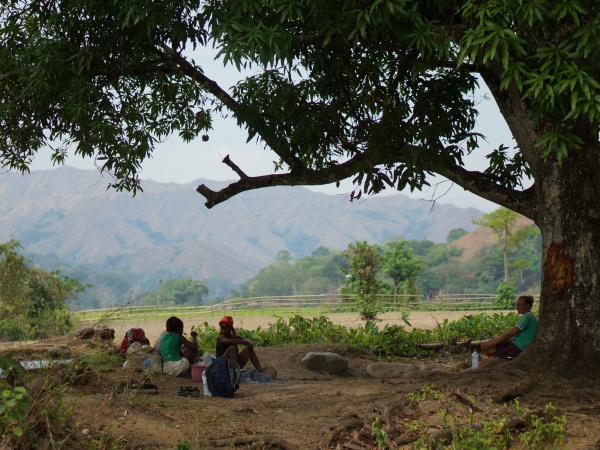
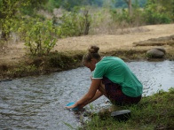
Breakfast at 8:30am under a huge mango tree at a branch of the Sambirano River near the village of Beangona.
| ||
|
|
|
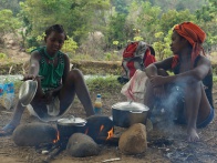
The young guides set up a campfire and prepared the usual large portion of rice and soup made of dried fish and instant noodles.
Loading map...
GPS coordinates
Google: 14°02'37.3"S 48°43'59.0"E
Garmin: -14.056606, 48.755306
Photos
View all breakfast under mango tree photos
