Difference between revisions of "Military airfield Andrakaka"
From MadaCamp
| (2 intermediate revisions by the same user not shown) | |||
| Line 7: | Line 7: | ||
[[File:Diego_Suarez_to_Cap_Diego_by_bike_062.jpg|600px]] | [[File:Diego_Suarez_to_Cap_Diego_by_bike_062.jpg|600px]] | ||
| − | < | + | <div style="max-width:600px;"> |
| − | -12.251274, 49.247887 | + | {{#display_map: |
| − | </ | + | -12.251274, 49.247887~'''Military airfield Andrakaka'''~~; |
| − | + | |type=satellite | |
| + | |service=google | ||
| + | |width=auto | ||
| + | |height=400 | ||
| + | |zoom=12 | ||
| + | |controls=pan, zoom, type, scale | ||
| + | |copycoords=yes | ||
| + | }} | ||
| + | </div> | ||
'''Geographic coordinates'''<br> | '''Geographic coordinates'''<br> | ||
12.249429S 49.245055E | 12.249429S 49.245055E | ||
| + | == Photos == | ||
| + | |||
| + | View all [[Military airfield Andrakaka photos]] | ||
| − | + | == Additional information == | |
| − | |||
* [http://www.fortifications-de-diego-suarez.info/andrakaka www.fortifications-de-diego-suarez.info/andrakaka] - Cap Diego: l'aéroport d'Andrakaka (French) | * [http://www.fortifications-de-diego-suarez.info/andrakaka www.fortifications-de-diego-suarez.info/andrakaka] - Cap Diego: l'aéroport d'Andrakaka (French) | ||
| + | * [[Ampasindava to Diego Suarez by bike|Bike ride Ampasindava to Diego Suarez]] - 38.62 km (including ferry from Cap Diego to Diego Suarez) | ||
| + | * [[Diego Suarez to Cap Diego by bike|Bike ride Diego Suarez to Cap Diego]] - 46.22 km | ||
| + | * [[Madiro_Kitamby_to_Cap_Diego_via_Windsor_Castle_by_bike|Bike ride Madiro Kitamby to Cap Diego via Windsor Castle]] - 21.24 km | ||
Latest revision as of 16:39, 22 December 2020
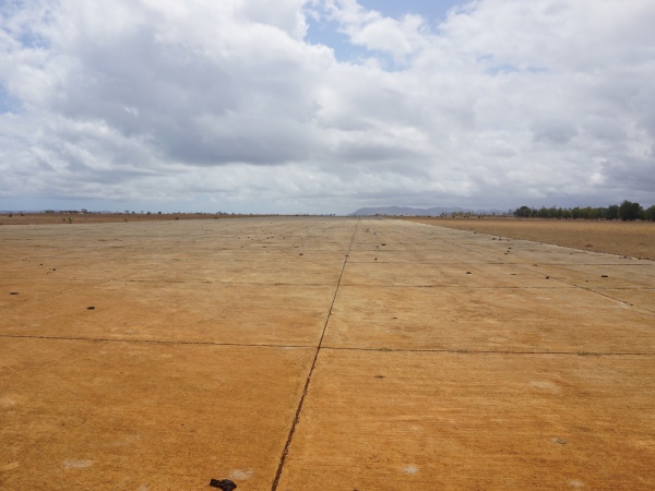
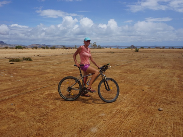
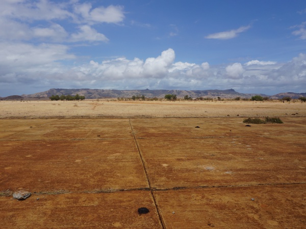
The military airfield Andrakaka is located near Cap Diego in the Diego Suarez Bay in the north of Madagascar. The airport has one runway, but is no longer operational.
Loading map...
Geographic coordinates
12.249429S 49.245055E
Photos
View all Military airfield Andrakaka photos
Additional information
- www.fortifications-de-diego-suarez.info/andrakaka - Cap Diego: l'aéroport d'Andrakaka (French)
- Bike ride Ampasindava to Diego Suarez - 38.62 km (including ferry from Cap Diego to Diego Suarez)
- Bike ride Diego Suarez to Cap Diego - 46.22 km
- Bike ride Madiro Kitamby to Cap Diego via Windsor Castle - 21.24 km


