Difference between revisions of "Diego Suarez to Cap Diego by bike"
CampMaster (talk | contribs) |
CampMaster (talk | contribs) m (Text replacement - "|width=600" to "|width=auto") |
||
| (10 intermediate revisions by 2 users not shown) | |||
| Line 1: | Line 1: | ||
'''There are many things to discover in the area surrounding [[Diego Suarez]]. For enthusiastic mountain bikers, a trip to [[Cap Diego]] is just the right thing. The small, sometimes good and sometimes bad road leads along the Diego Suarez Bay (Antsiranana Bay).''' | '''There are many things to discover in the area surrounding [[Diego Suarez]]. For enthusiastic mountain bikers, a trip to [[Cap Diego]] is just the right thing. The small, sometimes good and sometimes bad road leads along the Diego Suarez Bay (Antsiranana Bay).''' | ||
| − | < | + | <div style="max-width:600px;"> |
| − | -12.287617, 49.291534 | + | {{#display_map: |
| − | [[Antsiranana]] - Diego Suarez | + | -12.287617, 49.291534~'''[[Antsiranana]] - Diego Suarez'''~~; |
| − | -12.324852, 49.25703 | + | -12.324852, 49.25703~[[File:Anamakia_017.jpg|left|120px|]]<br>'''Plaine d'Anamakia'''~~; |
| − | [[ | + | -12.326198, 49.246456~[[File:Anamakia_022.jpg|left|120px]]<br>'''[[Anamakia]]'''~~; |
| − | -12.326198, 49.246456 | + | -12.328835, 49.213407~[[File:Salines_de_Antsahampano_010.jpg|left|120px]]<br>'''[[Salines d'Antsahampano]]'''~~; |
| − | [[ | + | -12.324849, 49.188979~[[File:Diego_Suarez_to_Cap_Diego_by_bike_006.jpg|left|120px]]~~; |
| − | -12.328835, 49.213407 | + | -12.312076, 49.188192; |
| − | [[ | + | -12.299552, 49.186046~[[File:Diego_Suarez_to_Cap_Diego_by_bike_011.jpg|left|120px]]~~; |
| − | -12.324849, 49.188979 | + | -12.290536, 49.180897~[[File:Diego_Suarez_to_Cap_Diego_by_bike_012.jpg|left|120px]]~~; |
| − | [[ | + | -12.283275, 49.182120; |
| − | -12.312076, 49.188192 | + | -12.269507, 49.190078~[[File:Diego_Suarez_to_Cap_Diego_by_bike_018.jpg|left|120px]]~~; |
| − | -12.299552, 49.186046 | + | -12.268729, 49.190218~[[File:Diego_Suarez_to_Cap_Diego_by_bike_022.jpg|left|120px]]~~; |
| − | [[ | + | -12.266181, 49.195869~[[File:Diego_Suarez_to_Cap_Diego_by_bike_024.jpg|left|120px]]~~; |
| − | -12.290536, 49.180897 | + | -12.262233, 49.193432; |
| − | [[ | + | -12.258555, 49.197791; |
| − | -12.283275, 49.182120 | + | -12.249763, 49.201505~[[File:Diego_Suarez_to_Cap_Diego_by_bike_028.jpg|left|120px]]~~; |
| − | -12.269507, 49.190078 | + | -12.247537, 49.202063~[[File:Diego_Suarez_to_Cap_Diego_by_bike_030.jpg|left|120px]]~~; |
| − | [[ | + | -12.245475, 49.202699; |
| − | -12.268729, 49.190218 | + | -12.244884, 49.202488~[[File:Diego_Suarez_to_Cap_Diego_by_bike_031.jpg|left|120px]]<br>'''10km to Cap Diego'''~~; |
| − | [[ | + | -12.245565, 49.204569; |
| − | -12.266181, 49.195869 | + | -12.246976, 49.209639~[[File:Diego_Suarez_to_Cap_Diego_by_bike_033.jpg|left|120px]]~~; |
| − | [[ | + | -12.248743, 49.216482~[[File:Diego_Suarez_to_Cap_Diego_by_bike_044.jpg|left|120px]]~~; |
| − | -12.262233, 49.193432 | + | -12.246247, 49.223587; |
| − | -12.258555, 49.197791 | + | -12.250409, 49.226782~[[File:Diego_Suarez_to_Cap_Diego_by_bike_046.jpg|left|120px]]~~; |
| − | -12.249763, 49.201505 | + | -12.253066, 49.228956~[[File:Diego_Suarez_to_Cap_Diego_by_bike_047.jpg|left|120px]]~~; |
| − | [[ | + | -12.254055, 49.230331~[[File:Diego_Suarez_to_Cap_Diego_by_bike_052.jpg|left|120px]]~~; |
| − | -12.247537, 49.202063 | + | -12.250269, 49.241679~[[File:Diego_Suarez_to_Cap_Diego_by_bike_058.jpg|left|120px]]~~; |
| − | [[ | + | -12.249429, 49.245055~[[File:Diego_Suarez_to_Cap_Diego_by_bike_060.jpg|left|120px]]<br>'''[[Military airfield Andrakaka]]'''~~; |
| − | -12.245475, 49.202699 | + | -12.247519, 49.255075~[[File:Diego_Suarez_to_Cap_Diego_by_bike_063.jpg|left|120px]]~~; |
| − | -12.244884, 49.202488 | + | -12.247840, 49.259268~[[File:Diego_Suarez_to_Cap_Diego_by_bike_066.jpg|left|120px]]~~; |
| − | [[ | + | -12.248460, 49.271411; |
| − | -12.245565, 49.204569 | + | -12.256091, 49.280334~[[File:Diego_Suarez_to_Cap_Diego_by_bike_070.jpg|left|120px]]<br>'''[[Cap Diego]]'''~~; |
| − | -12.246976, 49.209639 | + | |type=satellite |
| − | [[ | + | |service=google |
| − | -12.248743, 49.216482 | + | |width=auto |
| − | [[ | + | |height=750 |
| − | -12.246247, 49.223587 | + | |zoom=12 |
| − | -12.250409, 49.226782 | + | |controls=pan, zoom, type, scale |
| − | [[ | + | |copycoords=yes |
| − | -12.253066, 49.228956 | + | }} |
| − | [[ | + | </div> |
| − | -12.254055, 49.230331 | ||
| − | [[ | ||
| − | -12.250269, 49.241679 | ||
| − | [[ | ||
| − | -12.249429, 49.245055 | ||
| − | [[ | ||
| − | -12.247519, 49.255075 | ||
| − | [[ | ||
| − | -12.247840, 49.259268 | ||
| − | [[ | ||
| − | -12.248460, 49.271411 | ||
| − | -12.256091, 49.280334 | ||
| − | [[ | ||
| − | </ | ||
| + | == Tour data == | ||
| + | Distance: 46.2km / 28.7 miles<br> | ||
| + | Duration: 8 hours, 7 minutes<br> | ||
| + | Average Speed: 5.57km/h / 3.4 mph<br> | ||
| + | Minimum Elevation: 7m / 23 feet<br> | ||
| + | Maximum Elevation: 69.7m / 229 feet<br> | ||
| + | Total climb: 370m / 1213 feet<br> | ||
| + | Total descent: 372m / 1219 feet<br> | ||
The Diego Suarez to Cap Diego bike ride takes about 5 hours, allowing for many stops to enjoy the magnificent views onto the bay and hinterland. The road offers all kinds of condition: small gravel, large gravel, dirt road, old asphalt road or a simple trail. At some sections the road is impassable and it is better to push the bike. Depending on the season, the weather can be very hot and windy. | The Diego Suarez to Cap Diego bike ride takes about 5 hours, allowing for many stops to enjoy the magnificent views onto the bay and hinterland. The road offers all kinds of condition: small gravel, large gravel, dirt road, old asphalt road or a simple trail. At some sections the road is impassable and it is better to push the bike. Depending on the season, the weather can be very hot and windy. | ||
| − | For this bike tour it is essential to have a good mountain bike. [[Diego Raid]] in the centre of Diego Suarez rents out bicycles on a daily basis. | + | For this bike tour it is essential to have a good mountain bike. <!--[[Diego Raid]]-->[[Madabike]] in the centre of Diego Suarez rents out bicycles on a daily basis. |
== Route description == | == Route description == | ||
| Line 293: | Line 287: | ||
|} | |} | ||
| − | Why not indulge in a bit of luxury after a long and likely hot bike ride by chilling at the pool of the newly built [[Hotel de la Poste Ocean]] after checking into one of their rooms facing the ocean with a magnificent view over the bay? | + | <!--Why not indulge in a bit of luxury after a long and likely hot bike ride by chilling at the pool of the newly built [[Hotel de la Poste Ocean]] after checking into one of their rooms facing the ocean with a magnificent view over the bay?--> |
| + | == Photos == | ||
View all [[Diego Suarez to Cap Diego by bike photos]] | View all [[Diego Suarez to Cap Diego by bike photos]] | ||
| + | |||
| + | == Madabike == | ||
| + | |||
| + | More bike routes and bicycle rental: [http://www.Madabike.com Madabike.com] | ||
| + | __NOTOC__ | ||
Latest revision as of 04:48, 27 February 2021
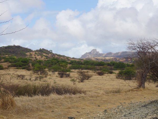
There are many things to discover in the area surrounding Diego Suarez. For enthusiastic mountain bikers, a trip to Cap Diego is just the right thing. The small, sometimes good and sometimes bad road leads along the Diego Suarez Bay (Antsiranana Bay).
Tour data
Distance: 46.2km / 28.7 miles
Duration: 8 hours, 7 minutes
Average Speed: 5.57km/h / 3.4 mph
Minimum Elevation: 7m / 23 feet
Maximum Elevation: 69.7m / 229 feet
Total climb: 370m / 1213 feet
Total descent: 372m / 1219 feet
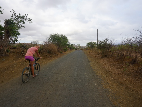
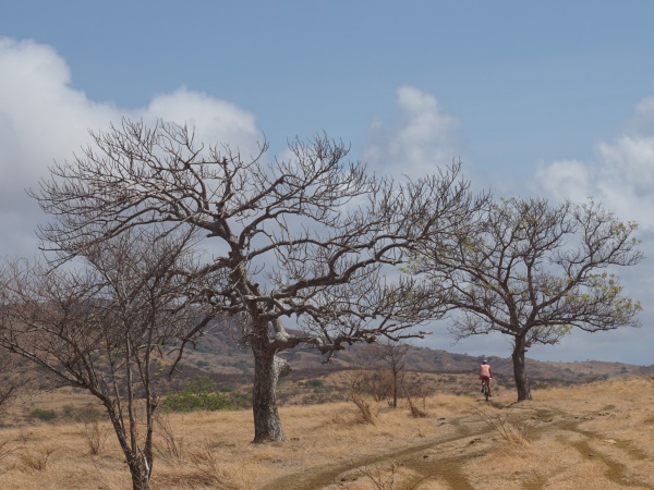
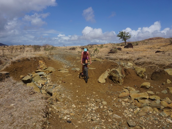
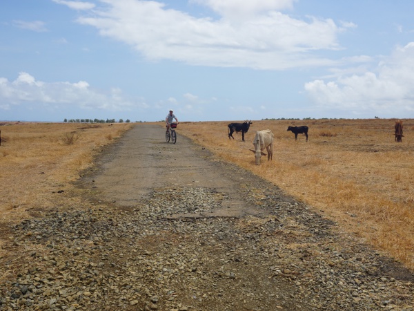
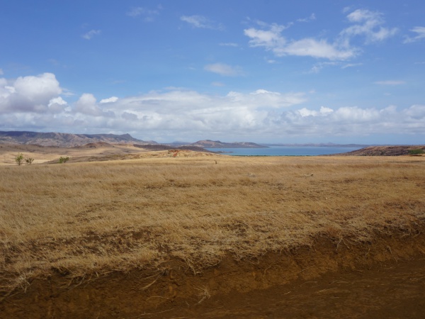
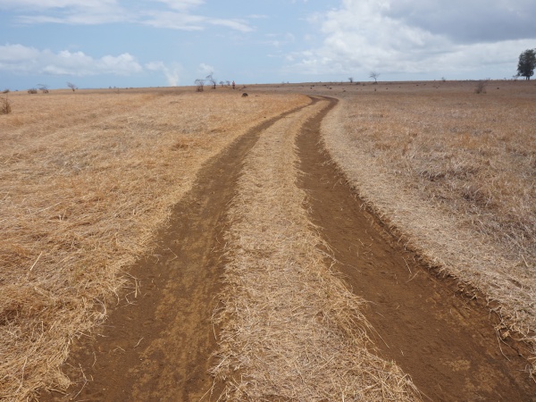
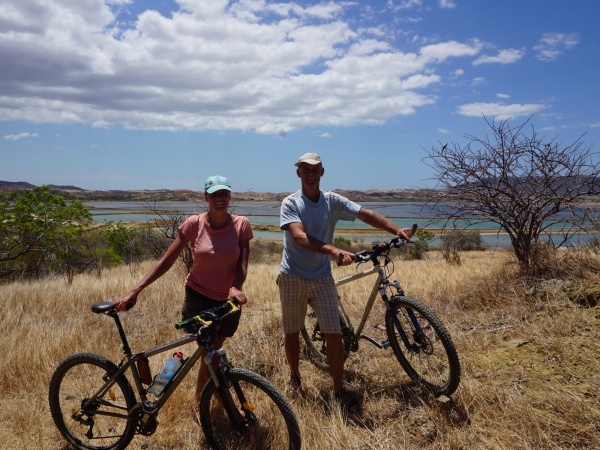
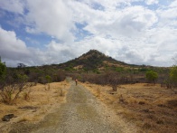
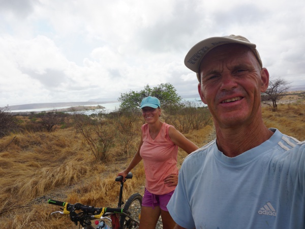
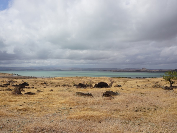
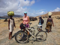
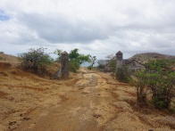
The Diego Suarez to Cap Diego bike ride takes about 5 hours, allowing for many stops to enjoy the magnificent views onto the bay and hinterland. The road offers all kinds of condition: small gravel, large gravel, dirt road, old asphalt road or a simple trail. At some sections the road is impassable and it is better to push the bike. Depending on the season, the weather can be very hot and windy.
For this bike tour it is essential to have a good mountain bike. Madabike in the centre of Diego Suarez rents out bicycles on a daily basis.
Route description
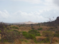
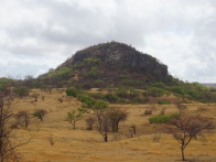
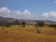
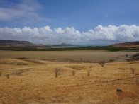
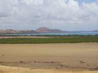
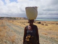
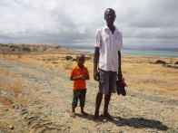
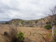
The bike excursion starts in Diego Suarez. After leaving the town towards the south, one turns right in the direction of Anamakia. On the way to this small village, one passes the large Plaine d'Anamakia, a wide open space which is used as grazing land for hundreds of zebus. At the western end of Anamakia is a bar, where just across the square women sell delicious mangoes when the season is right (usually October through January).
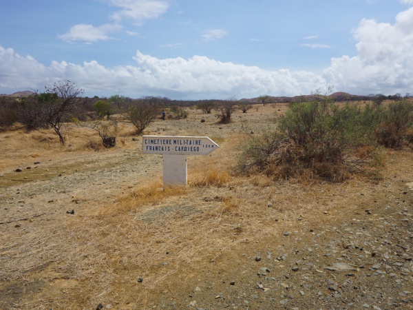
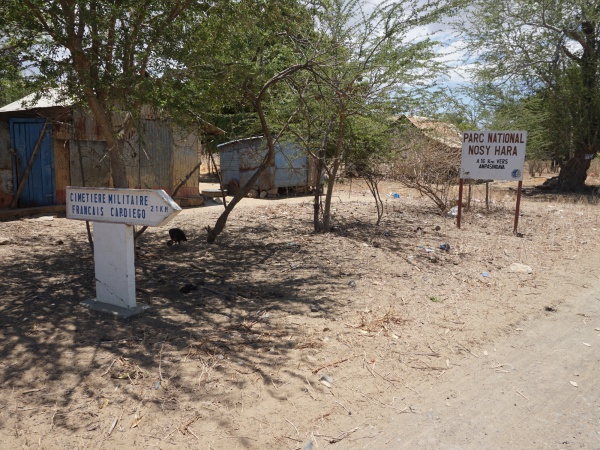
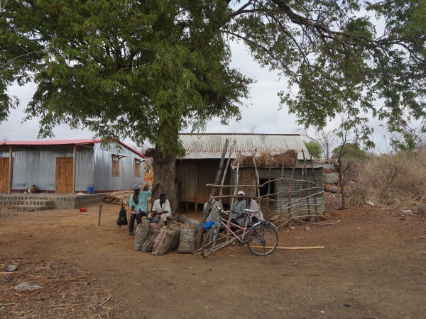
A short bike ride from Anamakia are the large salt marshes of the Salines d'Antsahampano. After passing the fields one comes to a crossing with a police checkpoint. Going straight leads to Nosy Hara National Park via Ampasindava (16km), going right to Cap Diego (21km). From now on the condition of the road changes every couple of kilometres. After passing some houses on the left, one should turn right. About 11km later, a sign points towards Cap Diego and the French Military Cemetery (Cimetière Militaire Français, 10km).
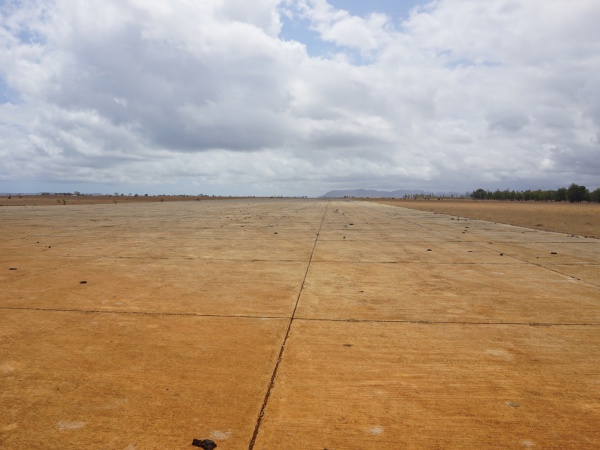
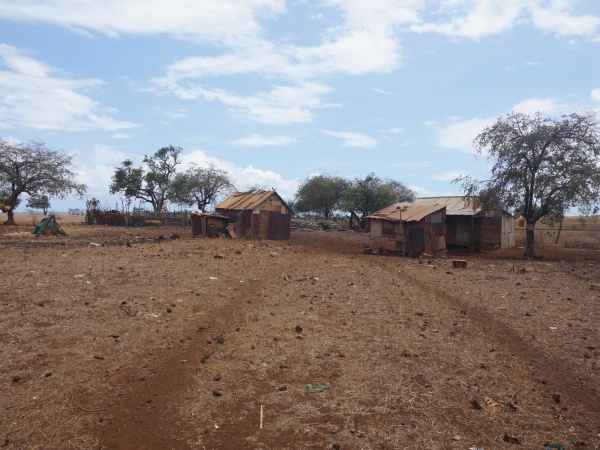
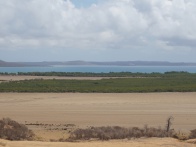
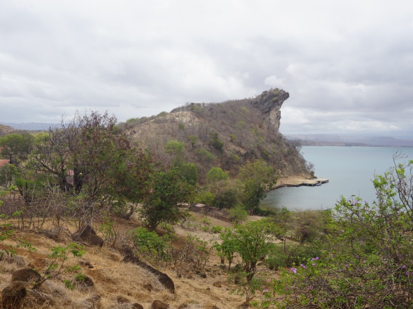
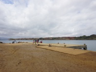
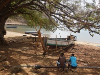
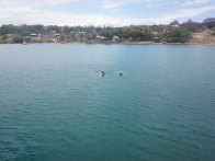
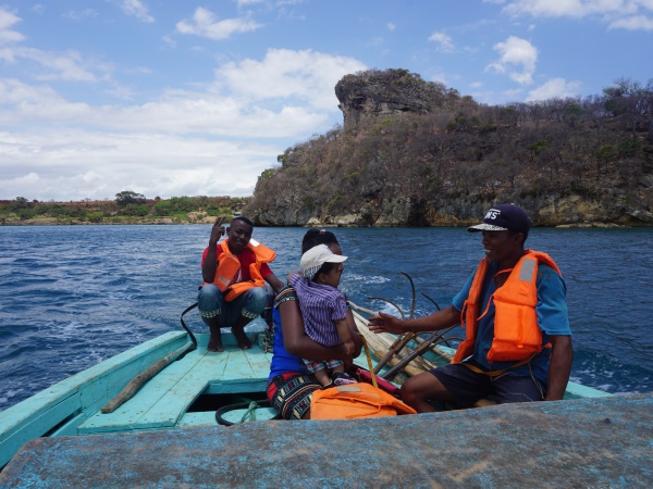
After passing the military airfield Andrakaka, the road is in good condition again. The remaining bike ride to Cap Diego is very quick and easy. At Cap Diego one can follow the road and pass through the military grounds. Against a fee, it is possible to visit the ruins of the former military station and some caves. For those not interested in history and old buildings should just turn right before the tollbar. A trail leads through some houses to the small harbour, from where scheduled boats leave straight to Diego Suarez (2,000 Ariary per person in 2017).
Detailed route with geographic coordinates
Antsiranana - Diego Suarez
12.287617S 49.291534E
Plaine d'Anamakia
12.324852S 49.25703E
Anamakia
12.326198S 49.246456E
Salines d'Antsahampano
12.328835S 49.213407E
| ||
|

|
|
crossing with police checkpoint
turn right
21km to Cap Diego
16km to Nosy Hara National Park via Ampasindava
12.324849S 49.188979E
| ||
|
|
|
12.312076S 49.188192E
12.299552S 49.186046E
12.299552S 49.186046E
crossing with some houses
12.290536S 49.180897E and 12.290541S 49.180890E
| ||
|
|

|
12.283275S 49.182120E
12.269507S 49.190078E
12.268729S 49.190218E
12.266181S 49.195869E
| ||
|
|
|
12.262233S 49.193432E
12.258555S 49.197791E
12.249763S 49.201505E
12.247537S 49.202063E
12.245475S 49.202699E
crossing
turn right direction Cap Diego and French Military Cemetery (Cimetière Militaire Français) - 10km
12.244884 49.202488E
12.245565S 49.204569E
12.246976S 49.209639E
|
|
|
12.248743S 49.216482E
| ||
|
|
|
12.246247S 49.223587E
12.250409S 49.226782E
12.253066S 49.228956E
12.254055S 49.230331E
12.250269S 49.241679E
Military airfield Andrakaka
12.249429S 49.245055E
12.247519S 49.255075E
12.247840S 49.259268E
12.248460S 49.271411E
Cap Diego
12.256091S 49.280334E
| ||
|

|
|
|
|
|
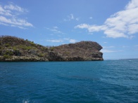
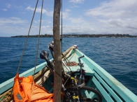
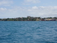
Back to Diego Suarez by boat
| ||
|
|
|
Photos
View all Diego Suarez to Cap Diego by bike photos
Madabike
More bike routes and bicycle rental: Madabike.com
