Difference between revisions of "Masindrano"
From MadaCamp
CampMaster (talk | contribs) (Created page with "<googlemap version="0.9" lat="-15.412477" lon="49.921532" zoom="13" controls="large" style="width:100%;max-width:600px;"> -15.4139, 49.9153 Masondrano </googlemap>") |
|||
| (19 intermediate revisions by 2 users not shown) | |||
| Line 1: | Line 1: | ||
| − | + | '''Masindrano is a village in the Masoala region which can be reached by foot in about 40 minutes from [[Mahalevona]]. It's also possible to walk here from [[Navana]] but many cross-crossing trails can make the path more difficult to follow.''' | |
| − | -15. | + | |
| − | + | {| class="imageTable" | |
| − | </ | + | |- |
| + | |colspan="3" | [[File:Masindrano 001.jpg|600px]] | ||
| + | |- | ||
| + | |[[File:Masindrano 002.jpg|196px]] | ||
| + | |align="center"|[[File:Masindrano 005.jpg|196px]] | ||
| + | |align="right"|[[File:Masindrano 007.jpg|196px]] | ||
| + | |- | ||
| + | |[[File:Masindrano 023.jpg|196px]] | ||
| + | |align="center"|[[File:Masindrano 022.jpg|196px]] | ||
| + | |align="right"|[[File:Masindrano 021.jpg|196px]] | ||
| + | |} | ||
| + | |||
| + | From [[Mahalevona]], follow the river downstream on the right side until crossing over where the locals usually cross. Thereafter walk over some rice paddies to reach the village. Step count from Mahalevona is about 16,000. Masindrano is along the national trail around the Masoala Pensinsula. The next village when taking this route is [[Iaraka]]. | ||
| + | |||
| + | <div style="max-width:600px;"> | ||
| + | {{#display_map: | ||
| + | -15.441679, 49.907725~[[File:Masindrano 009.jpg|left|150px|]]<br>'''Masindrano'''~~; | ||
| + | |type=satellite | ||
| + | |service=google | ||
| + | |width=auto | ||
| + | |height=400 | ||
| + | |zoom=14 | ||
| + | |controls=pan, zoom, type, scale | ||
| + | |copycoords=yes | ||
| + | |icon=https://www.madacamp.com/images/madagascar/Green_marker.png | ||
| + | }} | ||
| + | </div> | ||
| + | |||
| + | [[File:Masindrano 018.jpg|600px]] | ||
| + | |||
| + | Coordinates: S 15°26.356’ E 049°54.416’ | ||
| + | |||
| + | == Additional information == | ||
| + | |||
| + | View all [[Masindrano photos]] | ||
Latest revision as of 07:01, 16 January 2021
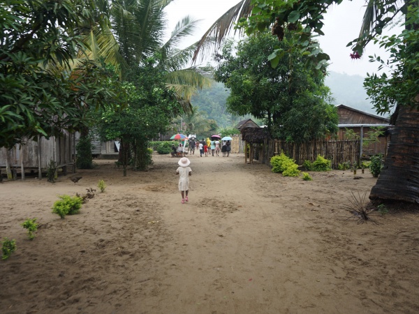
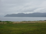
Masindrano is a village in the Masoala region which can be reached by foot in about 40 minutes from Mahalevona. It's also possible to walk here from Navana but many cross-crossing trails can make the path more difficult to follow.
| ||

|

|
|
|
|
|
From Mahalevona, follow the river downstream on the right side until crossing over where the locals usually cross. Thereafter walk over some rice paddies to reach the village. Step count from Mahalevona is about 16,000. Masindrano is along the national trail around the Masoala Pensinsula. The next village when taking this route is Iaraka.
Loading map...
Coordinates: S 15°26.356’ E 049°54.416’
Additional information
View all Masindrano photos
