Difference between revisions of "Cap Diego"
From MadaCamp
| (6 intermediate revisions by 2 users not shown) | |||
| Line 13: | Line 13: | ||
|height=400 | |height=400 | ||
|zoom=16 | |zoom=16 | ||
| − | |||
|controls=pan, zoom, type, scale | |controls=pan, zoom, type, scale | ||
| − | |||
| − | |||
|copycoords=yes | |copycoords=yes | ||
}} | }} | ||
</div> | </div> | ||
| − | |||
| − | |||
| − | |||
| − | |||
[[File:Cap Diego 002.jpg|600px]] | [[File:Cap Diego 002.jpg|600px]] | ||
| + | |||
| + | == Photos == | ||
View all [[Cap Diego photos]] | View all [[Cap Diego photos]] | ||
| + | |||
| + | == Additional information == | ||
| + | |||
| + | * [[Ampasindava to Diego Suarez by bike|Bike ride Ampasindava to Diego Suarez]] - 38.62 km (including ferry from Cap Diego to Diego Suarez) | ||
| + | * [[Diego Suarez to Cap Diego by bike|Bike ride Diego Suarez to Cap Diego]] - 46.22 km | ||
| + | * [[Madiro_Kitamby_to_Cap_Diego_via_Windsor_Castle_by_bike|Bike ride Madiro Kitamby to Cap Diego via Windsor Castle]] - 21.24 km | ||
Latest revision as of 16:39, 22 December 2020
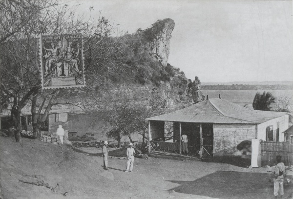
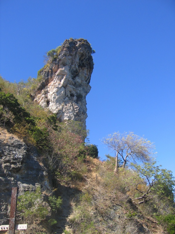
Cap Diego is a peninsula within Diego Suarez bay and the location of a former French military base, including the nearby Andrakaka Navy airfield. There is a small village within a short walking distance of the cape with a church and a school as well as an interesting cave and a nice beach.
Cap Diego can easily be reached by a 20-minute boat ride from Diego harbour or by road encircling part of the bay. Tourists are charged a small entrace fee by military personnel stationed by the pier to visit the caves. Enquire at Diego harbour when the next boat goes, which usually transports villagers to/from Diego Suarez.
Loading map...
Photos
View all Cap Diego photos
Additional information
- Bike ride Ampasindava to Diego Suarez - 38.62 km (including ferry from Cap Diego to Diego Suarez)
- Bike ride Diego Suarez to Cap Diego - 46.22 km
- Bike ride Madiro Kitamby to Cap Diego via Windsor Castle - 21.24 km

